
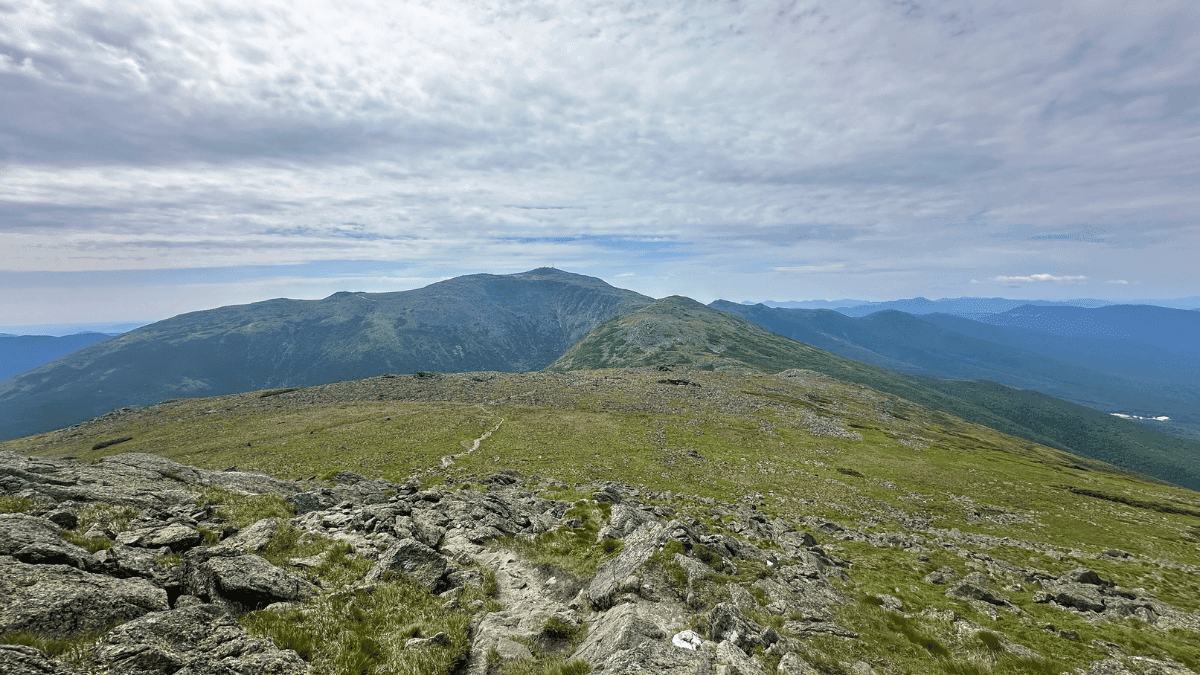
The Presidential Traverse isn’t just one trail. It’s a chain of connected trails, like Valley Way, Airline, Gulfside, and Crawford Path among them. These trails combined link Mount Madison, Mount Adams, Mount Jefferson, Mount Clay, Mount Washington, Mount Monroe, Mount Eisenhower, and Mount Pierce into a single point to point route. This review covers the full north to south traverse (you can also do it south to north if you want), starting at the Valley Way trailhead in Randolph and finishing at Crawford Depot in Crawford Notch.
Expect roughly 19 to 20 miles, over 8,400 feet of climbing, an extended stretch above treeline through the middle of the route, and some of the most technical, rocky footing I’ve ever covered on this site.
Should you run it?
Honestly, this one takes real commitment. It’s not a quick outing, and the point to point logistics mean you can’t just decide on a whim to run it, especially when you factor in the quick weather changes. But if you want a legitimate mountain run with some of the best ridge views in the Northeast, the Presidential Traverse definitely delivers. The catch is the combination of mileage, technicality, and exposure, all stacked on top of each other. This isn’t a trail to underestimate, at least I know I didn’t. You can check out my full post on doing the Presidential Traverse in one day if you want to know more about my experience.
Run the Presidential Traverse if you:
- Want a full-day mountain objective that links multiple 4,000-footers into one push
- Want sustained above-treeline running and views for miles at a stretch
- Can be flexible with your dates depending on the weather
Skip the Presidential Traverse if you:
- Are looking for something short or low commitment.
- Don’t have experience on technical, rocky, exposed terrain or have an issue with rolled ankles
Trailhead directions
Start at the Valley Way trailhead in Randolph, NH, just off Route 2. This is the standard north to south starting point and gets you into forest cover quickly before the climb to Mount Madison.
The traverse finishes at Crawford Depot in Crawford Notch, NH, off Route 302, at the base of the Crawford Path. Because this is a point to point route and not a loop, you’ll need a second vehicle staged at Crawford Depot, a shuttle service, or someone to pick you up (luckily my fiancee met me, being the saint she is). The lot at Crawford Depot fills up, especially on weekends, so staging your finish vehicle the night before is worth the extra step.
Closest towns for food, lodging, and last-minute supplies: Gorham (north, near Valley Way) and Bretton Woods or Twin Mountain (south, near Crawford Notch).
The route
- Valley Way trailhead to Mount Madison and the Madison Hut (~3.8 mi)
- Mount Madison to Mount Adams (~1.5 miles)
- Mount Adams to Mount Jefferson (~3.5 miles)
- Mount Jefferson to Mount Clay and Mount Washington (~2 miles)
- Mount Washington to Mount Monroe, Eisenhower, and Pierce (~6 miles total)
- Mount Pierce to Crawford Depot via the Crawford Path (~2.5 mi)
Valley Way to Mount Madison: The climb is steady and forested for most of its length, with rocks, roots, and a handful of stream crossings before you break above treeline near Madison Hut.
- Liked: The transition from forest to open ridge right at Madison Hut, a clear payoff after a long, mostly shaded climb.
- Watch for: This climb sets the pace for your entire day. Take your time and don’t underestimate it.
Mount Madison to Mount Adams: Adams climbs steeper than Madison despite being second on the route. Water is available at Madison Hut, the last reliable fill-up before Mount Washington’s summit building, so be sure to hit this if you need it.
- Liked: Expanding views back toward Washington as you approach Thunderstorm Junction.
- Watch for: Steep, loose footing on the Adams climb and descent. This section is more physically demanding than the mileage suggests.

Plan your next runcation without overthinking it
A free, runner-tested weekend kit with:
- A simple trip-planning framework
- A packing checklist that actually works
- A quick decision guide for short travel runs
Mount Adams to Mount Jefferson: This stretch includes some of the most exposed and technical footing on the traverse, roughly a mile of loose rock past Adams before a short, but steep push to Jefferson’s summit, about half a mile with 800 feet of gain, including a false summit near the top.
- Liked: Jefferson’s summit view of Washington is one of the best on the route, and it tends to be quieter than the other peaks. Enjoy some time here (I know I did)
- Watch for: Ankle stability. The loose rock past Adams is where footing or ankle roll issues are most likely to happen.
Mount Jefferson to Mount Clay and Mount Washington: Terrain improves noticeably here, with more packed trail and genuinely runnable sections mixed in with the climbing. Mount Clay sits about a mile and a half past Jefferson and is easy to miss at a trail split, so pay attention to junctions. Washington’s summit has a visitor center with food and water, the only such stop on the entire route. I enjoyed a nice pizza and Coke with a trail friend while I was here. Though the crowds will be a shock.
- Liked: The most runnable stretch on the traverse and a real chance to make up time.
- Watch for: Clay’s summit is small and gets crowded in peak season, sometimes requiring a brief step off trail to pass groups.
Mount Washington to Mount Monroe, Eisenhower, and Pierce: Terrain and grades ease up noticeably south of Washington. Lakes of the Clouds, near Monroe, is your last water source before the finish. Rocks can get slick if weather moves in, which happens often on this stretch, especially in the afternoon.
- Liked: The most runnable section of the southern half, especially between Mount Franklin and Eisenhower.
- Watch for: Wet rock. This is typically where afternoon weather starts to catch up with you.
Mount Pierce to Crawford Depot (Crawford Path): The descent from Pierce runs about 2.5 miles to Crawford Depot, on clean, well-defined trail after a day of technical footing.
- Liked: Predictable footing after a long day above treeline, though it’s still a bit technical.
- Watch for: Fatigue-driven mistakes. Most missteps on this trail happen late in the day, not early.
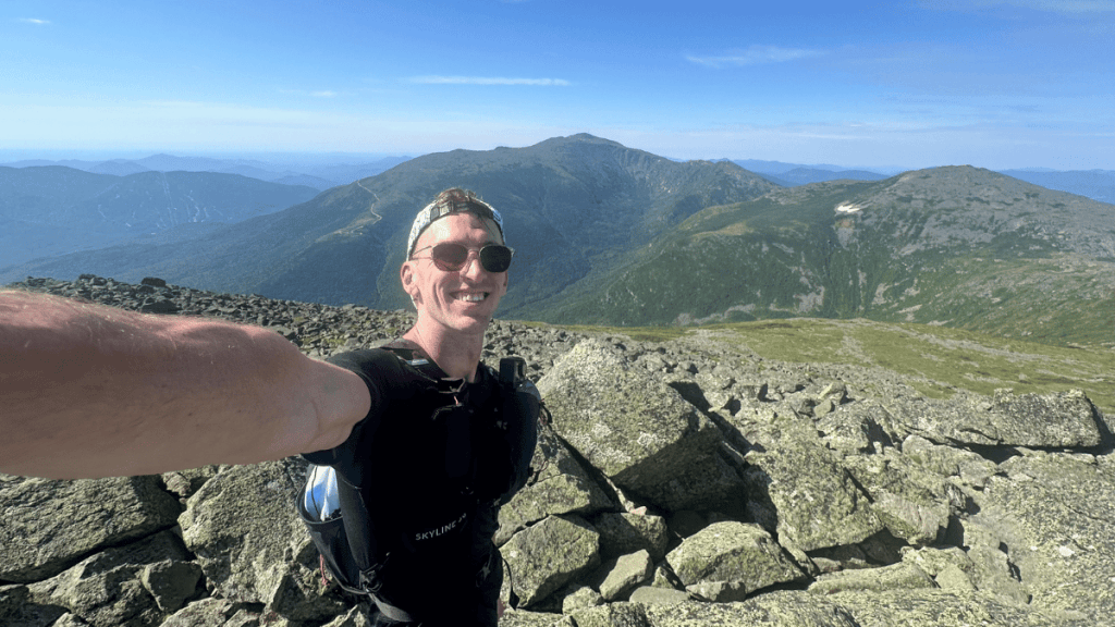
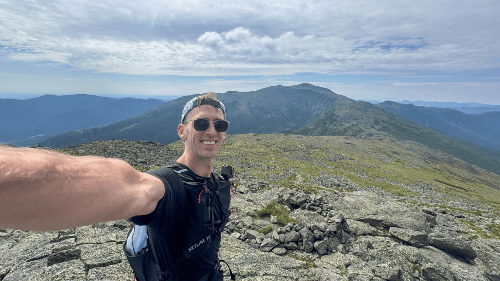
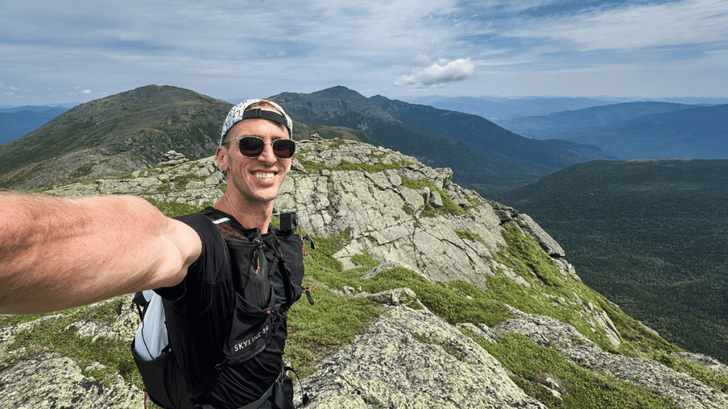
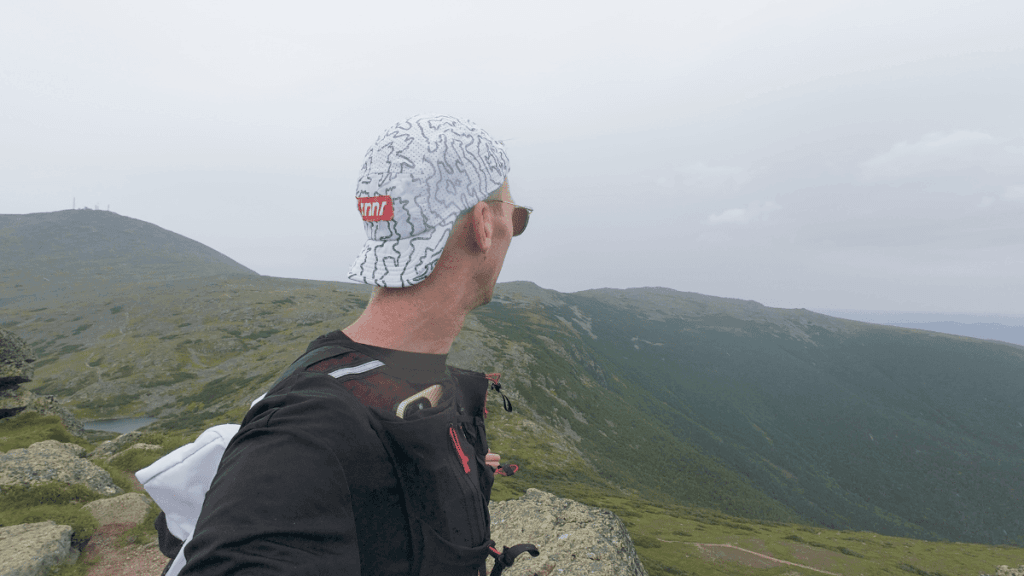
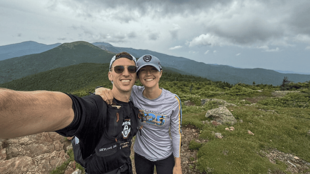
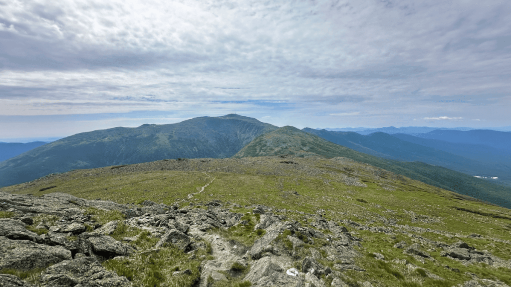
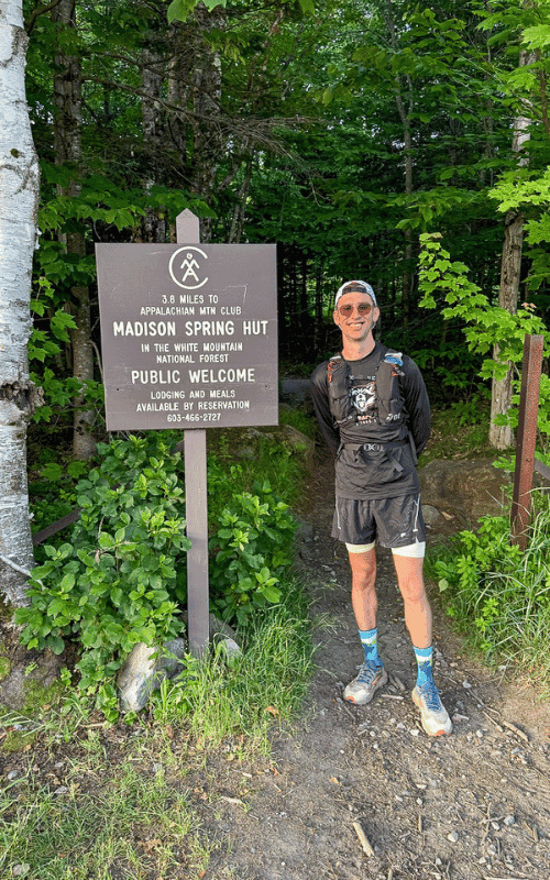
Photos from the trail


Logistics
- Water: Only three reliable refill points on the entire route: Madison Hut, the Mount Washington summit building, and Lakes of the Clouds near Monroe. Plan your carry capacity around those gaps.
- Shuttle plan: This is a point to point trail. Stage a second vehicle at Crawford Depot or arrange a shuttle before you start, not after 20 miles.
- Budget more time than the mileage suggests. This is technical, mostly above-treeline terrain. Moving time on a strong day runs 8+ hours.
- Weather: Check forecasts in the days leading up to your run and again the morning of. Conditions on the ridge, especially near Washington, change fast regardless of the valley forecast. I got lucky with the weather, but definitely should have brought more sunscreen due to the exposure, which I overlooked.
- Footwear: Bring durable, well-broken-in trail shoes. The terrain is almost entirely rock. If you have some with a rock plate, might not be a bad idea to use them.
- Emergency kit: Carry a way to navigate offline, extra layers, and basic first aid. Know your bailout routes before you start. I had the route loaded on my watch and also a Garmin InReach just in case.
Nearby trails
If the Presidential Traverse has you hooked on the White Mountains, here’s where to check out next:
- Mount Willard (3 miles)
- Mount Moosilauke (7.5 miles)
- Franconia Ridge Loop (8 miles)



Leave a Reply