
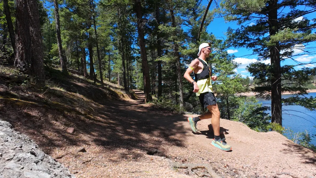
Rampart Reservoir isn’t one trail, it’s a whole system, and the routes range from a 3.7-mile out-and-back to a full ~14.8-mile loop around the shoreline. This review covers the full loop, starting and finishing at the Rainbow Gulch trailhead.
Expect constant Pikes Peak views, almost no technical terrain, and just over 1,000 feet of rolling, spread-out climbing that makes it a solid long day at altitude.
Rampart Reservoir Trail at a Glance
- Route type
- Loop
- Start → finish
- Rainbow Gulch Trailhead → same trailhead
- Highest point
- Approximately 9,285 ft
- Terrain
- Smooth, rolling singletrack with short road sections
- Exposure
- Open shoreline mixed with shaded forest
- Water
- No water on trail · carry everything or arrange a midpoint swap
- Midpoint support
- Far parking lot · restrooms · water and nutrition swap
- Views
- Rampart Reservoir · Pikes Peak · forested inlets
For a complete list of trails, be sure to check out my Trail Running Route Database where I add, review, and recommend every trail I’ve run around the world.
Should you run it?
Honestly, this one’s an easy recommend. It’s highly runnable, the views hold up for basically the entire loop, and at just over 9,000 feet it doubles as a legitimate altitude session if that’s what you’re in Colorado for. The only real catch is the distance itself. This is nearly 15 miles, not a quick outing so this is better suited for long runs.
Run the Rampart Reservoir Trail if you:
- Want a long, mostly runnable trail with almost no technical terrain
- Want Pikes Peak in view for most of the route
- Are training at altitude and want time on feet without route finding or scrambling to slow you down
Skip the Rampart Reservoir Trail if you:
- You’re looking for something short. This is close to a 15-mile loop.
- You want technical, hands-on terrain
Rampart Reservoir Trailhead directions
Start from the Rainbow Gulch trailhead, not the dam. Parking at the dam comes with a fee, whereas starting at Rainbow Gulch and running the loop from there skips it entirely. From Woodland Park, take S Baldwin Street, which turns into Rampart Range Road. Turn right onto Loy Creek Road, which is at a three-way intersection with a bunch of yield signs. Then make another right onto Rampart Range Road at the top of the hill. It turns into a dirt road here that gets bumpy so if you’re concerned about your car, you may want to skip this.
Keep following it until you reach the Rainbow Gulch trailhead, you’ll see the parking off to the left. The lot varies in how busy it gets depending on the day and time, but it mostly wasn’t an issue when I visited.
The route
- Start at the Rainbow Gulch trailhead and descend into the trees toward the reservoir (~1.5 mi)
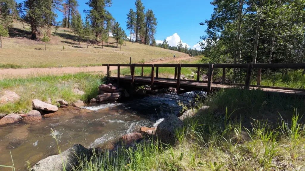
- Split at the bridge and follow the shoreline trail around the reservoir’s inlets, in and out of tree cover (~5 mi). If the trail splits and you’re ever unsure, take the one that runs toward the reservoir.
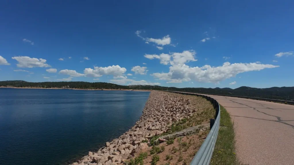
- Run on the road until you reach the far parking lot, roughly the halfway point, and a good spot to swap water and nutrition (or use the bathroom)
- Continue around the reservoir on the return side (~7 mi)
- Climb back up to the Rainbow Gulch trailhead to close the loop (~1.5 mi)
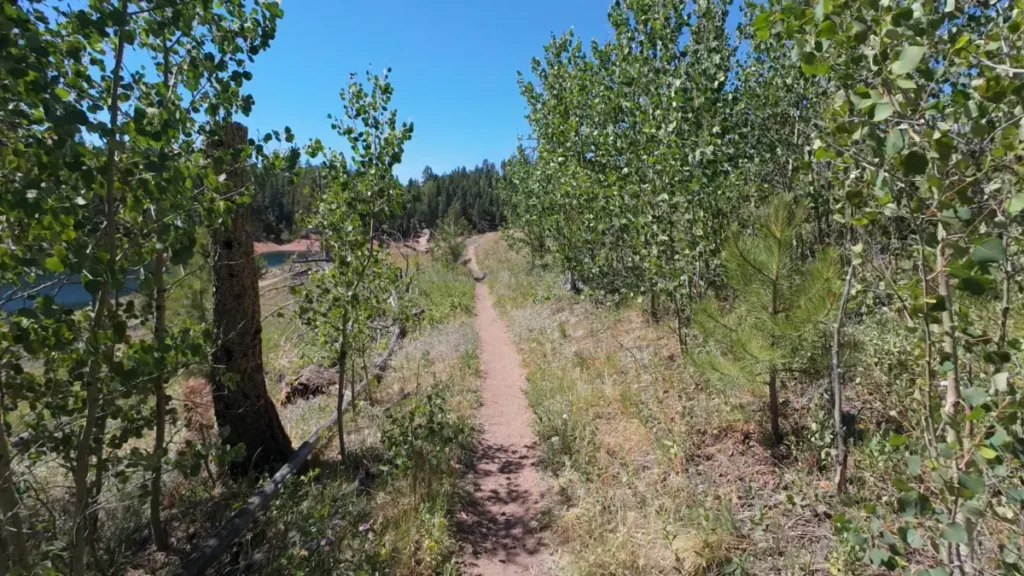
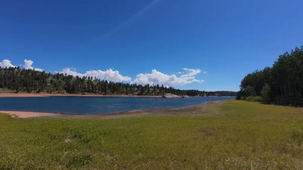
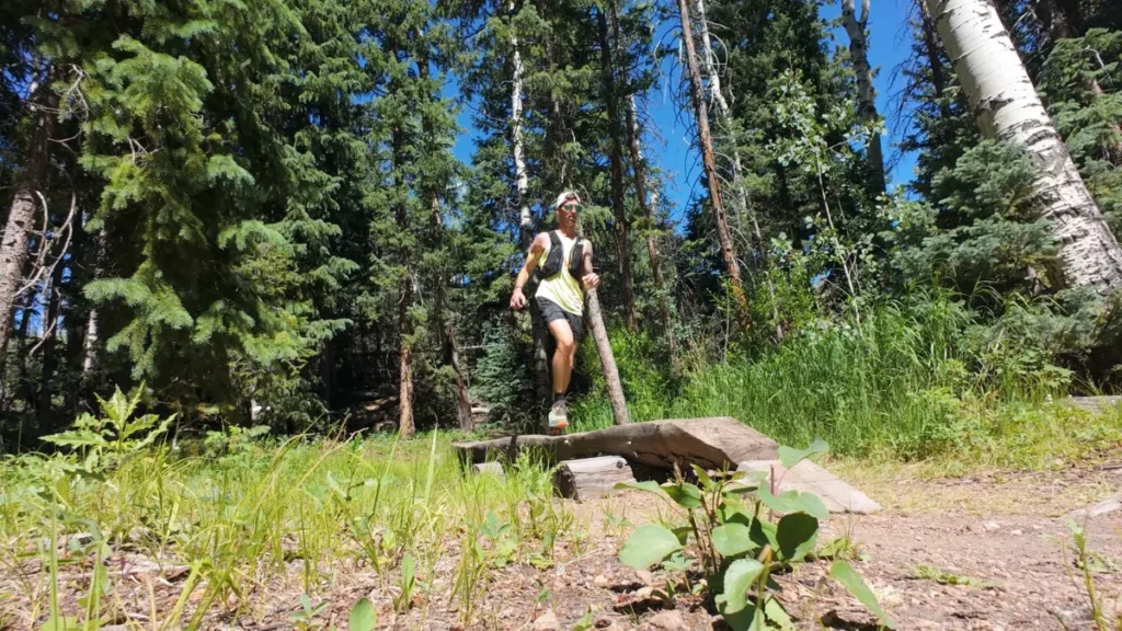
First half (Rainbow Gulch to the far lot): Starts with a descent off the trailhead into the trees then settles into steady, rolling terrain as the trail wraps in and out of the reservoir’s inlets. You’re in and out of tree cover the whole way, which means real breaks from direct sun if you’re running this during summer. There are some beautiful views of the reservoir during this section.
- Liked: shade breaks, constant lake views, genuinely runnable trails throughout
- Watch for: none of the climbs are particularly long, but they keep coming. A lot of undulations instead of one clean grade.
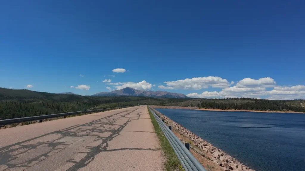
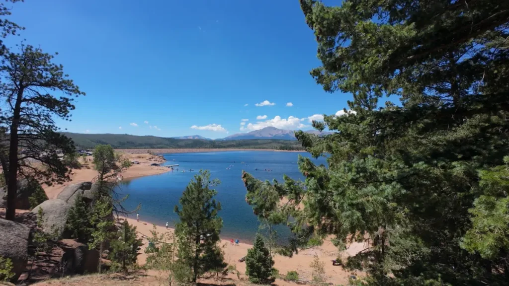
Second half (far lot back to Rainbow Gulch): Same profile as the first half (rolling, runnable, tree cover mixed with open shoreline). Some amazing views of Pikes Peak here, both on the road to the parking lot and from the trail itself.
- Liked: same scenery payoff as the first half, but a lot more Pikes Peak
- Watch for: the return climb at the end can catch you when you’re tired, so budget more time for that
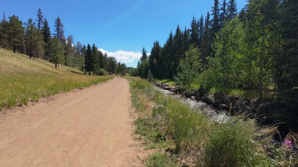
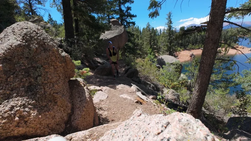
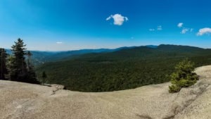
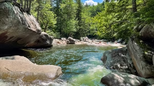
Photos from the Rampart Reservoir Trail
Rampart Reservoir Trail logistics
- No water on the trail. Carry everything you need or plan a bottle/nutrition swap at the halfway lot if you’re not doing a car-supported out-and-back.
- Budget more than the mileage suggests. At altitude with rolling terrain the whole way, this ran closer to 3 hours of moving time, plus stops.
- Start at Rainbow Gulch to skip the dam parking fee, not the dam trailhead itself.
- Expect sun exposure on the open shoreline sections, balanced by real shade through the tree-covered stretches. Worth knowing if you’re running in peak summer heat.
Rampart Reservoir FAQs
How long is the Rampart Reservoir loop?
Is Rampart Reservoir hard to run?
Do you have to pay to park at Rampart Reservoir?
Is Rampart Reservoir good for trail running?
Stop guessing. Plan the trip without screwing up the run.
The free Runcation Kit gives you the planning framework, packing checklist, and route-finding system I use to make running part of the trip without letting it take over.

Leave a Reply