
Kaitlyn dropped me off at the Valley Way trailhead promptly at 6:30 AM. My goal was to run the entire Presidential Traverse, north to south, in one day.
This is a nearly 20-mile gauntlet through the White Mountains with over 8,400 feet of elevation gain and seven peaks (plus one bonus) standing in my way. I’d trained, prepped my gear, and stalked the weather forecast for days. But nothing really could prepare you me that ridge with its jagged rock and wide-open sky.
From brutal climbs and rocky ridgelines to pizza on Mount Washington, this was one of the most epic runs of my life to date. And I’m here to recap it all for anyone else who’s thinking of doing it.
Quick note: This is my recap of my time running the Presidential Traverse, if you’d like to see a full review along with more details about doing it yourself, then be sure to check out my Presidential Traverse trail review.
Table of Contents
What is the Presidential Traverse?
For the uninitiated, the Presidential Traverse is a beast of a hike (or run, if you’re a little crazy).
It links together the major Presidential peaks and is one of the most popular trails in White Mountain National Forest. Many people debate which summits should be included (the most being 13 summits). But, generally, these 7 are in every discussion:
- Mount Madison
- Mount Adams
- Mount Jefferson
- Mountain Washington
- Mount Monroe
- Mount Eisenhower
- Mount Pierce
Many people hike it over 2–3 days, but I had read about some people running it in one. So I decided I liked the latter idea more (I’d also add Mount Clay in between Jefferson and Washington since it was there and easy to reach).
The route follows the Presidential Range, a subrange of the White Mountains in northern New Hampshire. These peaks are known for their rugged beauty, exposed ridgelines, and some of the most extreme weather in the United States. Mount Washington alone has held records for the highest wind speeds on Earth. But, luckily, I wouldn’t experience any of these as it may have blown me off the ridge.
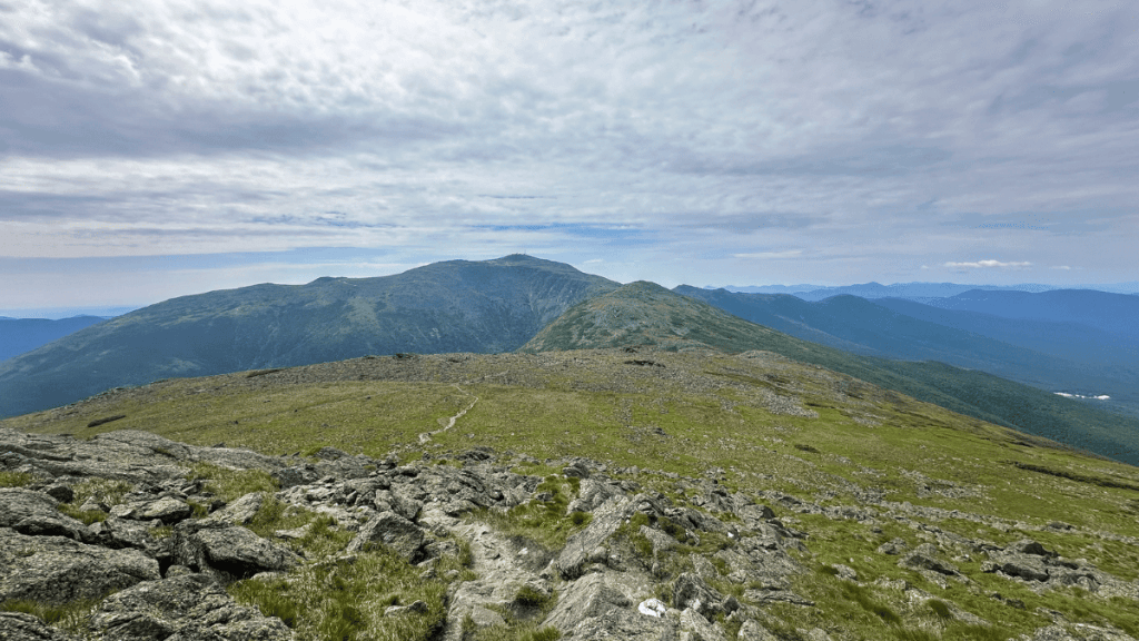
The full traverse typically covers between 19–23 miles depending on the exact trail variations and whether you include all the official peaks. It involves more than 8,000 feet of elevation gain, almost all of it on rocky, technical trails above the treeline.
This isn’t your average trail run.
It’s not just long. It’s rocky. Technical. Exposed. And it’ll test every bit of fitness, grit, and ankle stability you think you have (trust me, my right ankle still hurts at the time of this writing).
The Presidential Traverse: North to South Breakdown
Start of Presidential Traverse: Valley Way Trail (Randolph, NH)
Kaitlyn dropped me off early at the trailhead of the Valley Way trail and I set off while she went back and relaxed at our campground.
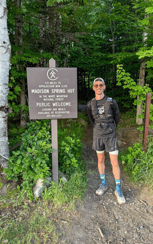
The climb to Mount Madison hits fast and hard. You barely get a chance to settle in before the trail starts punching you in the lungs with steep climbs and some technical trails full of rocks and roots. As I climbed, the trees started thinning out and bits of sunlight started to peak through more and more, which was really cool for me as I’ve yet to spend a considerable amount of time above treeline.
I knew I was close because I started passing more and more hikers going the opposite way, I can only assume finishing up a multi-day trek on the Traverse. Then, eventually, I popped out of the trees and saw the Madison Hut sitting off to the right of the trail, and Madison towering over it to the left.
Most people drop their bags at Madison and head up. Me? I just continued straight to the top, excited to get my first peak AND peek at the views. I was carrying all my water and nutrition in my Outdoor Vitals Skyline Fastpack, so I didn’t feel the need to stop at the Madison Hut until my way back down.

By the time I topped out on Madison, my legs were burning. But the views eased it a little bit as I sat and chatted with some hikers on the peak. Then, it was back down to head toward Mount Adams.
Mount Madison to Mount Adams
Adams might technically be second on the route, but it definitely packs its own punch.
After filling up my water at the Madison Hut then taking the wrong way, I finally settled on the path toward Adams. And, boy, I know you do more climbing to Madison technically, but the steepness factor of Adams is no joke. It had me stopping and “taking in the views” (aka breathing) more than once. This was the first time I had to stop and remind myself that it wasn’t about speed today, it was just about experiencing my time on the ridgeline (the 20-minute miles were a constant reminder of that).
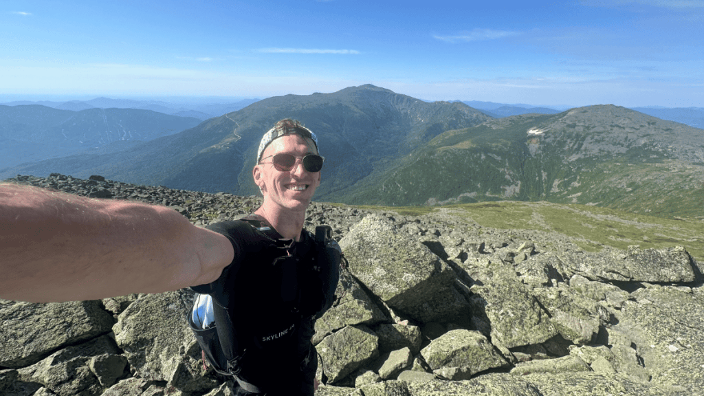
But after finally reaching the top, I enjoyed the views for a bit and headed down to Thunderstorm Junction and then on to Jefferson…beginning with massive boulder piles.
Mount Jefferson (And a Food Break)
On the way to Jefferson was the first bit of adversity. About a mile after leaving Adams, I seriously rolled my ankle, almost falling into a huge pile of rocks in the process.
Luckily, I was able to stop myself and avoided being one of the many headlines on Reddit, “Runner evacuated from Presidentials.” So I could look on the bright side there. It was sore, but I figured I’d be fine to finish. This was mile 6 of 19, so I’d have plenty of time to assess and take a bailout option if needed (though this wasn’t a serious thought).
And this is where the views continued to get more epic as Washington came into view.
On both sides of the ridge, you could see for miles. It was a super clear day and I couldn’t have asked for better weather. There were calls for some light showers in the afternoon (right around the time I expected to finish), but other than that it was clear skies and sunshine.
Plus, I was able to run some of these sections (albeit slowly thanks to my ankle and the terrain). But the climb to Jefferson was brutal and slowed me down quite a bit. Rocky, a bit narrow at times, and just up, up, and up. From the lowest point to the summit, it’s around a half mile with roughly 800 feet of gain. Plus, throw in a false summit and my morale took a few shots.
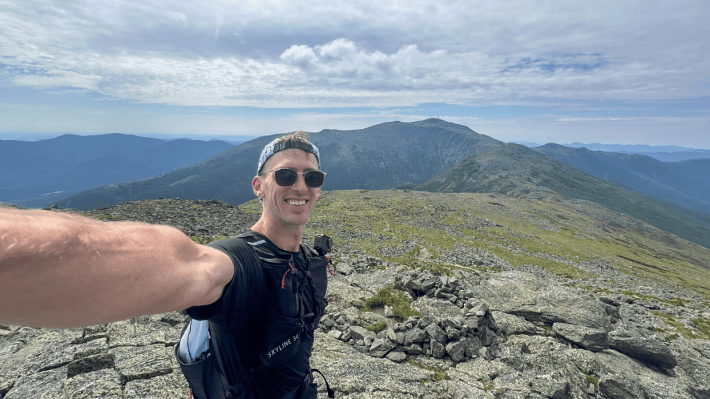
When I got to the top, though, it ended up being my favorite view. Maybe it was the lack of people. Maybe it was the view of Washington and the surrounding mountains. But I enjoyed hanging out here for a bit, snacking, and just adjusting my gear before starting toward Mount Clay and Washington, knowing I’d have a bit of climbing coming up.
At this point, almost three hours had passed and I had summited 3 of the 8 peaks, which wasn’t a bad ratio in my book.
Plan your next runcation without overthinking it
A free, runner-tested weekend kit with:
- A simple trip-planning framework
- A packing checklist that actually works
- A quick decision guide for short travel runs
Mount Clay and Mount Washington (And a Second Food Break)
I was actually excited for this section after viewing it from Jefferson.
Not as many huge boulders, a bit more paved trail (for the White Mountains, at least), and some runnable sections, which meant I could make up some of the time I lost before. I cut some off, but still couldn’t run as much as I wanted to without risking a fall. So this turned into somewhat of a “rike” (run-hike) as I ran when I had the chance, and hiked when the terrain laughed at me for even attempting to run.
I reached Mount Clay at mile 9, which was about a mile and a half from Jefferson.
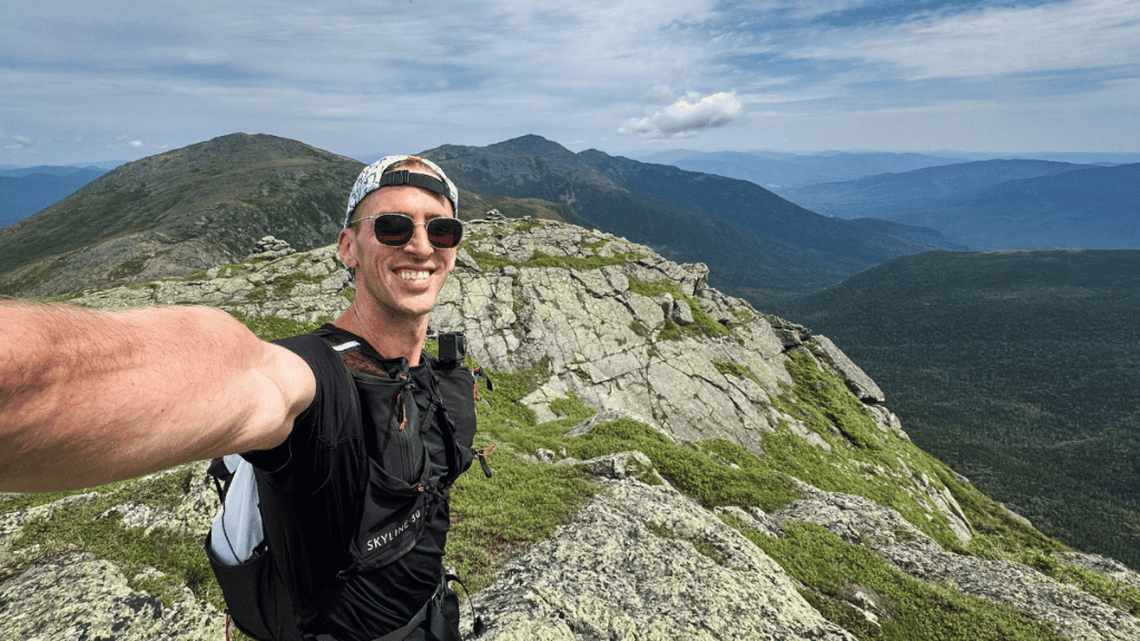
I almost missed Clay completely, taking the wrong path at a split. My watch beeped a few moments later letting me know I’d gone off trail and I debated summiting Mount Clay at all. Eventually, I decided I’d kick myself if I didn’t, so I turned and ran back. This is one of the reasons I always have the route on my watch. Even if I know the route, it’s easy to go off-trail sometimes.
For me, Clay wasn’t anything special.
It had nice views, but it wasn’t anything compared to any of the ones I’d seen already. There was also a gaggle of hikers at the top that had made the summit their new home. And when I say gaggle, I mean like 15-20 hikers all splayed across the summit, every one of them sitting right in the middle of the trail. So I’ll shamefully admit I had to go off-trail to get around them, something I avoid at all costs in alpine zones.
Obviously I know doing the Presi Traverse in the height of summer comes with more crowds. But I think we can all agree that a summit is almost always better without 15-20 others, especially Mount Clay, which is already small (end rant).
After, it was on to Washington which I felt strong climbing up to the top, which was likely from the snacks I’d eaten on Jefferson kicking in to give me some energy.

Along the way I caught up to a man I had seen earlier at the Madison Hut when I was going to the summit and he was headed toward Adams. Super nice guy named Evan from Montreal. We kept each other company to the top and then grabbed a pizza and Coke inside the visitor center, which is a runner’s special.
And shoutout to Evan. He paid for my meal because I mistakenly left my debit card back in the car with Kaitlyn. The generosity of people never ceases to amaze me, and Evan was another great example of that.
After a bit at the top, we headed toward Jefferson, where Evan would tell me I could carry on because he’s not batshit crazy enough to run the Presi.vNot his words, but I imagine the thought was there somewhere.
Mount Monroe, Mount Eisenhower, and Mount Pierce
On the way to Washington, I could tell the rain clouds were coming in. And by Monroe it started to sprinkle. I wasn’t worried about a huge storm or anything. But I knew it’d make the terrain a bit slicker.
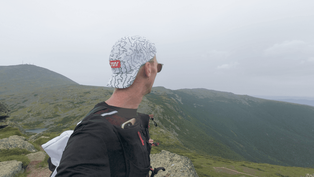
Honestly, though, this was super welcome. It was extremely hot before that, and I was happy to get some shade and a cool off. Thankfully, only some sections were slick. But I was going slow enough that it really didn’t matter.
For me, the summits of Monroe, Eisenhower, and Pierce are nice. But they’re nothing compared to the front half. You still get amazing views, but they don’t quite hit the expansiveness and the scenery from the front half of the Presi.
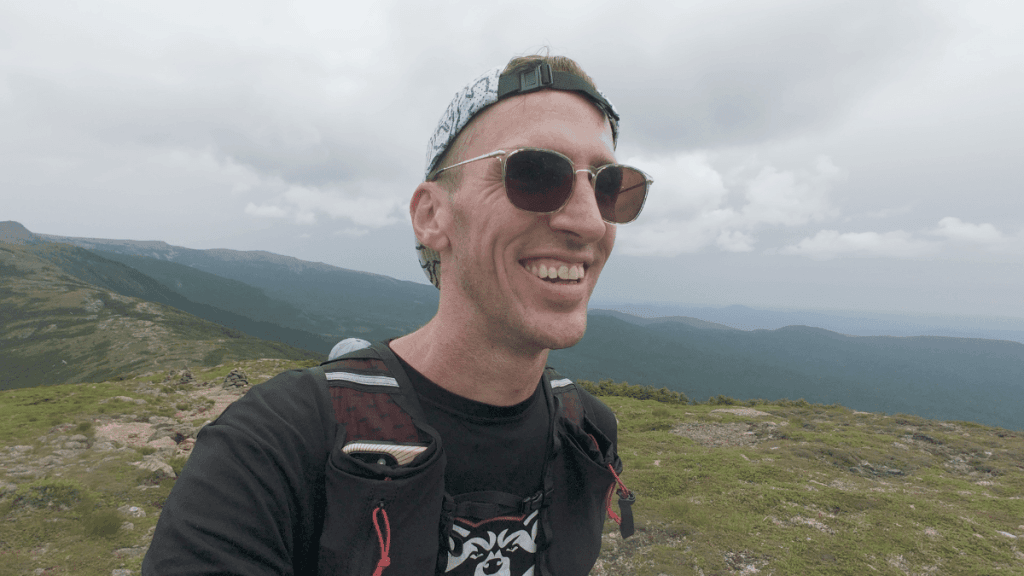
Kaitlyn met me on Eisenhower, then doubled back over Pierce and down to the car. She was updating me on her progress and was close to Eisenhower. So I picked up the pace, passing by Mount Franklin and getting to Eisenhower (which was a BRUTAL climb in the moment).
These were also some of my fastest miles of the entire run, averaging a whopping 16:00/mile.
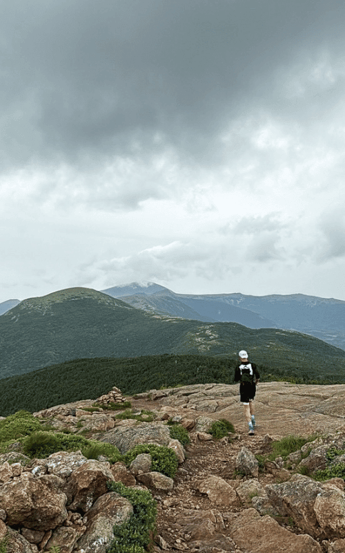
Once I reached reached Mount Pierce, I was honestly so happy to be done. I rolled my ankle again three times after the first time. And by now, I had a noticeable limp. I was also just tired. I hadn’t run in proper mountains like this since last year’s western road trip. And they were properly beating my ass.
I loved it, but all I wanted was to lie down and stuff my face with copious amounts of pizza.
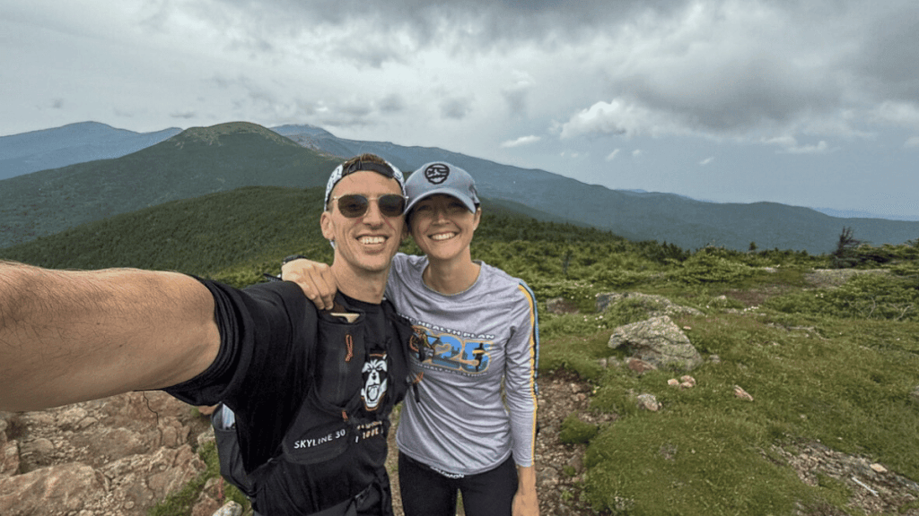
So, we took the Crawford Path down to Crawford Depot (around 2.5 miles) to the car. This bit was still technical, though nothing compared to the ridgeline. It has plenty of roots and rocks that were testing my tired legs, but we took it slow to ensure that I didn’t end the Presi with a serious injury.
End of Presidential Traverse: Crawford Depot
Thankfully Kaitlyn had parked and started her run to Eisenhower at a good time because the parking lot was PACKED when we reached the trail end.
I limped my way to the car, passing a trail runner who had glided past us on the way down. Now, he was riding a bicycle and waved to us casually as if he hadn’t embarrassed our trail running skills moments ago. A true legend.
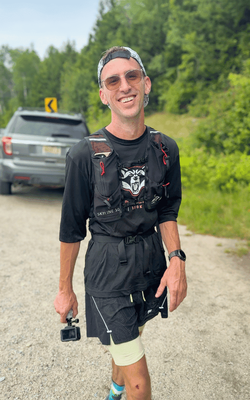
At the car, Kaitlyn gave me a Coke and some of the snacks we had packed for our road trip. I sat, legs shattered, body tired, mind frayed, but extremely happy and content.
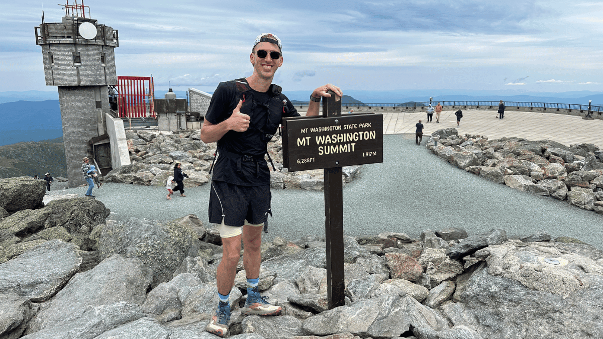
I’d just completed the Presi Traverse in one day. Almost 20 miles, ~8500 feet of climbing, and 8:30:18 of “running”. And, honestly, it was just as epic as I thought it would be when I first learned about it a few years prior.
What I Took with Me on the Presidential Traverse
I accidentally left my Salomon running pack at home, otherwise I would have taken it.
But I had my Skyline 30 from Outdoor Vitals, and it did an amazing job. I expected it to bounce a bit more since it wouldn’t be fully loaded, but it fit really well.
So, here’s everything I wore and carried in my pack:
Clothing
- Shirt: Salomon Shakeout Core Shirt
- Layer: Rabid Raccoon Race Shirt
- Rain jacket: REI Mount Rainier
- Shorts: Fabletics shorts
- Shoes: Brooks Cascadia
- Socks: Injinji Ridgelines Artist Designed Crew
- Hat: Rnnr Pacer Hat
Gear
- Pack: Outdoor Vitals Skyline 30
- Running belt: Salomon Pulse Belt
- Watch: Coros Apex
- Camera: DJI Osmo Action 4
- Phone: iPhone 14 Pro Max
- Safety device: Garmin inReach Mini 2
- First aid kit: Small homemade kit (followed this REI checklist)
- Water bottles: A mix of Outdoor Vitals, Salomon, and Lifestraw filter bottle (didn’t use, but just in case)
- White Mountain National Forest map
Fuel
- Tailwind Endurance Fuel
- Tailwind High Carb Fuel
- Granola bars
- Gummy bears
Disclosure: Just a heads-up, The Travel Runner earns a little commission if you buy through some links here, but it won’t cost you anything extra. Thanks for your support!
Final thoughts on the Presidential Traverse in one day
This was honestly one of the coolest experiences of my life.
And I’ve been pretty lucky, having the opportunity to hike to Machu Picchu, visit Theth in Albania, and run/hike in some incredible places. But I’d been planning on doing this for a few years after running White Mountain National Forest’s trails in 2023. So having the chance to do it, and also get perfect weather for it, is something I’m extremely grateful for.
The experience was more than I could have imagined, and it’s definitely a place that will be calling me to come back. And, I’ll likely answer that call at some point in the future.



Leave a Reply