
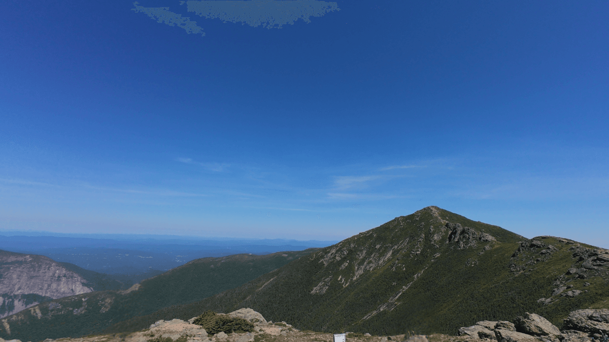
Franconia Ridge Loop is an 8-mile loop through Franconia Notch with 3,800+ feet of climbing that links three summits: Little Haystack, Mount Lincoln, and Mount Lafayette.
I rated it 7.5/10 overall.
The ridge itself might be the best view I’ve run through in New Hampshire, but a real parking bottleneck and a genuinely dangerous descent keep it from scoring higher. I ran this route a few days after running the Presidential Traverse in one day, and it was possibly one of the best few days I’ve had in terms of running routes.
This guide walks through the route, what to expect on each section, and what I’d do differently.
Franconia Ridge Loop at a Glance
- Route type
- Loop
- Start → finish
- Lafayette Place Parking Lot → same trailhead
- Highest point
- Mount Lafayette · 5,249 ft
- Terrain
- Rocks, roots, stream crossings and a boulder-heavy descent
- Exposure
- Approximately 1.7 miles fully exposed above treeline
- Route
- Falling Waters → Franconia Ridge → Old Bridle Path
- Summits
- Little Haystack · Mount Lincoln · Mount Lafayette
- Waterfalls
- Stairs Falls · Swiftwater Falls · Cloudland Falls
For a complete list of trails, be sure to check out my Trail Running Route Database where I add, review, and recommend every trail I’ve run around the world.
Should you run it?
Honestly, this is a bucket-list trail, not a casual Tuesday run. My fiancee Kaitlyn and I stayed an extra day on our way out of New Hampshire just to fit it in, and it was worth every bit of the detour. The ridge itself might be the best few miles of running in the Whites, but you’re paying for it with a steep climb, real exposure, and a genuinely technical descent.
Run the Franconia Ridge Loop if:
- Want one of the most scenic ridge runs in New England, maybe the Northeast
- Are comfortable scrambling over exposed rock with real drop-offs on both sides
- Can get to the Lafayette Place lot by 7 to 8am, especially on weekends or during foliage season
Skip the Franconia Ridge Loop if:
- Aren’t comfortable with exposure or technical footing
- See thunderstorms anywhere in the forecast (there’s no bailout on the ridge)
- Want a runnable trail day. Most of this loop is power hiking

Plan your next runcation without overthinking it
A free, runner-tested weekend kit with:
- A simple trip-planning framework
- A packing checklist that actually works
- A quick decision guide for short travel runs
Franconia Ridge Loop Trailhead directions
The Franconia Ridge Loop starts from the Lafayette Place Parking Lot in Franconia Notch State Park, right off I-93. It’s the main lot for both the Falling Waters and Old Bridle Path trails, and it’s busy. On weekends, and especially during peak summer and fall foliage, the lot fills by 7 to 8am.
Lincoln, about 10 minutes south, has restaurants, gas, and outdoor shops if you need supplies. Franconia, just north, is smaller but closer, with coffee and a few dining options. If you’re staying overnight nearby, base yourself in one of those two towns for the shortest pre-run drive, and check the forecast before you head out. Weather changes fast in Franconia Notch.
The route
- Climb Falling Waters Trail from the trailhead to Little Haystack (~3 mi, ~3,000 ft gain, steep and technical past the first half mile)
- Cross Franconia Ridge Trail over Little Haystack, Mount Lincoln, and Mount Lafayette (~1.7 mi, fully exposed)
- Descend Old Bridle Path back to the trailhead (~3.5 mi, boulder-heavy and technical)
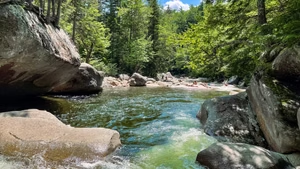
Falling Waters Trail (ascent): The start is deceptively mellow: a small lot, a few port-a-potties, a trail sign, and a short paved-to-dirt transition. Then the climb starts and doesn’t let up. It’s a steady grind over rocks, roots, and stream crossings, past three waterfalls (Stairs Falls, Swiftwater Falls, and Cloudland Falls) that double as good excuses to catch your breath. About half a mile in, it gets noticeably steeper and more technical. We hiked most of it. Kaitlyn didn’t love the relentless grade, but topping out on Little Haystack, where the trees stop and the whole valley opens up, made up for it.
- Liked: the waterfalls as built-in rest points, and the treeline break opening into the valley view
- Watch for: sustained climbing with rocks, roots, and stream crossings that gets steeper and more technical about half a mile in
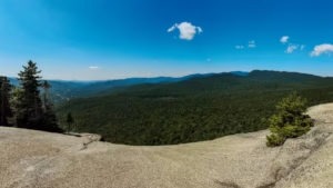
Franconia Ridge Trail (Little Haystack to Lincoln to Lafayette): This is the payoff, and it’s fully exposed the entire way, with rock and drop-offs on both sides and mountains in every direction. It’s also the most runnable stretch on the whole loop. The climb to Mount Lincoln is short and steep (I’d heard it was a false summit; it wasn’t), and Lincoln itself was noticeably less crowded than Little Haystack. From there the trail rolls toward Mount Lafayette, the high point of the loop, with a relentless final push and, in my opinion, the best view on the entire ridge.
- Liked: the most runnable terrain on the loop, panoramic views in every direction, and a quieter rest stop on Mount Lincoln
- Watch for: full exposure with real drop-offs on both sides, and biting flies near the summits in summer
Old Bridle Path (descent): More technical than I expected, especially early on. Large boulders dominate, and where they thin out, smaller ankle-rolling rocks fill the gaps. I’d sprained my ankle badly on the Presidential Traverse a few days earlier and hadn’t given it enough time to heal, so I felt every bit of this section, rolling my other ankle more than once before the trail finally mellowed out, then rolling it again anyway, for good measure.
- Liked: occasional views back toward the ridge, and it eventually eases into more runnable trail near the bottom
- Watch for: the most technically demanding, and in my opinion most dangerous, section of the loop, with unpredictable footing and a high ankle-roll risk late in the run
Photos from the Franconia Ridge Loop


Franconia Ridge Loop FAQs
How long does it take to run Franconia Ridge Loop?
Is Franconia Ridge Loop hard to run?
Where do you park for Franconia Ridge Loop?
Can you run the whole Franconia Ridge Loop?
Other Great Trail Options Nearby
I love running in New Hampshire, and I still have so many trails to run and write about. But, here are a few I have covered so far to help you plan your trail runs in White Mountain National Forest a bit better:
- Presidential Traverse (19 miles)
- Mount Willard (3 miles)
- Mount Moosilauke (7.5 miles)
- Artists Bluff Trail (1.3 miles)
- Franconia Falls Trail (7.7 miles)
- Mount Pemigewasset (3.1 miles)
- Kearsarge North (6 miles)

Leave a Reply