
The Weaver’s Needle Loop was a nice surprise on one of my trips to Phoenix. I hadn’t explored much of the Superstition Wilderness, so with an extended stay in Apache Junction, it was time to check it out.
The Weaver’s Needle Loop is a good pick for a longer run in the Superstitions if you’re comfortable with the distance and climbing. My April 2026 outing covered 12.54 miles with 3,077 feet of gain. I’d happily run most of it and hike the climbs. The main thing I’d change about our outing is the timing. It got hot quickly, and there wasn’t much shade. Go early so you can enjoy the route rather than spend the return looking for somewhere to cool off.
I rated it 7.5/10 overall, with the scenery earning an 8. The long climb at the start gives way to some of the most enjoyable running of the outing. Later, you can push the rolling climbs for a workout or hike them and take in the views.
Weaver’s Needle Loop at a Glance
- Route type
- Clockwise loop around Weaver’s Needle
- Start → finish
- Peralta Trailhead → same trailhead
- Highest point
- Approximately 3,700 ft in my GPS recording
- Terrain
- Rocky initial climb, runnable downhill and flats, then rolling climbs
- Exposure
- Little shade; more exposed on the back half than in the initial canyon
- Water
- No potable water at Peralta Trailhead · carry what you need for the loop
- Landmarks
- Weaver’s Needle · Fremont Saddle
- Navigation
- Peralta → Dutchman → Terrapin → Bluff Spring; GPX useful on Terrapin
For more firsthand route reviews, browse my Trail Running Route Database.
Should you run it?
Yes, if you’re up for the distance and climbing. I’d run most of it and hike the steeper climbs.
But this terrain was fun to run on with a mix of smooth trail and some rocks thrown in to break up the monotony. And the variation in hills and valleys keeps things interesting in your quads. Plus, who doesn’t want a really cool rock to stare at while you run around it?
Run Weaver’s Needle Loop if you:
- Want a longer Superstition run with big views and don’t mind hiking the climbs.
- Are comfortable with roughly 12.5 miles and 3,000 feet of gain.
Skip Weaver’s Needle Loop if you:
- Want a flatter route without much climbing.
- Can only start late on a hot day.
Weaver’s Needle Loop trailhead directions
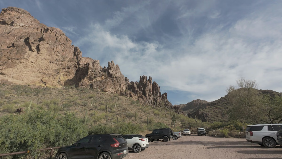
Start at Peralta Trailhead, at the end of Peralta Road in Tonto National Forest. Drive east on US 60 past Apache Junction, then turn north onto Peralta Road/Forest Road 77. The Forest Service directions describe the turn as 8.5 miles past Apache Junction, followed by 8 miles on Peralta Road.
We drove a small rental car and made it without a problem. The road had rough spots, but slowing down was enough for us. There was plenty of parking when we visited, earning it a 7/10 for parking convenience. Check recent road conditions before going, especially after storms.
The Forest Service currently lists Peralta Trailhead as open, with no fee and no potable water. Check the current Tonto alerts and road conditions before you go. This is Peralta Trailhead, not the separate Peralta Regional Park along the access road.
The route
This is the clockwise loop from my GPX, not the shorter out-and-back to Fremont Saddle. The mile markers below are approximate.
- Climb Peralta Trail #102 from the trailhead to the first view of Weaver’s Needle near Fremont Saddle, about 2.2 miles in.
- Continue down Peralta through the downhill and flatter running to roughly mile 6.
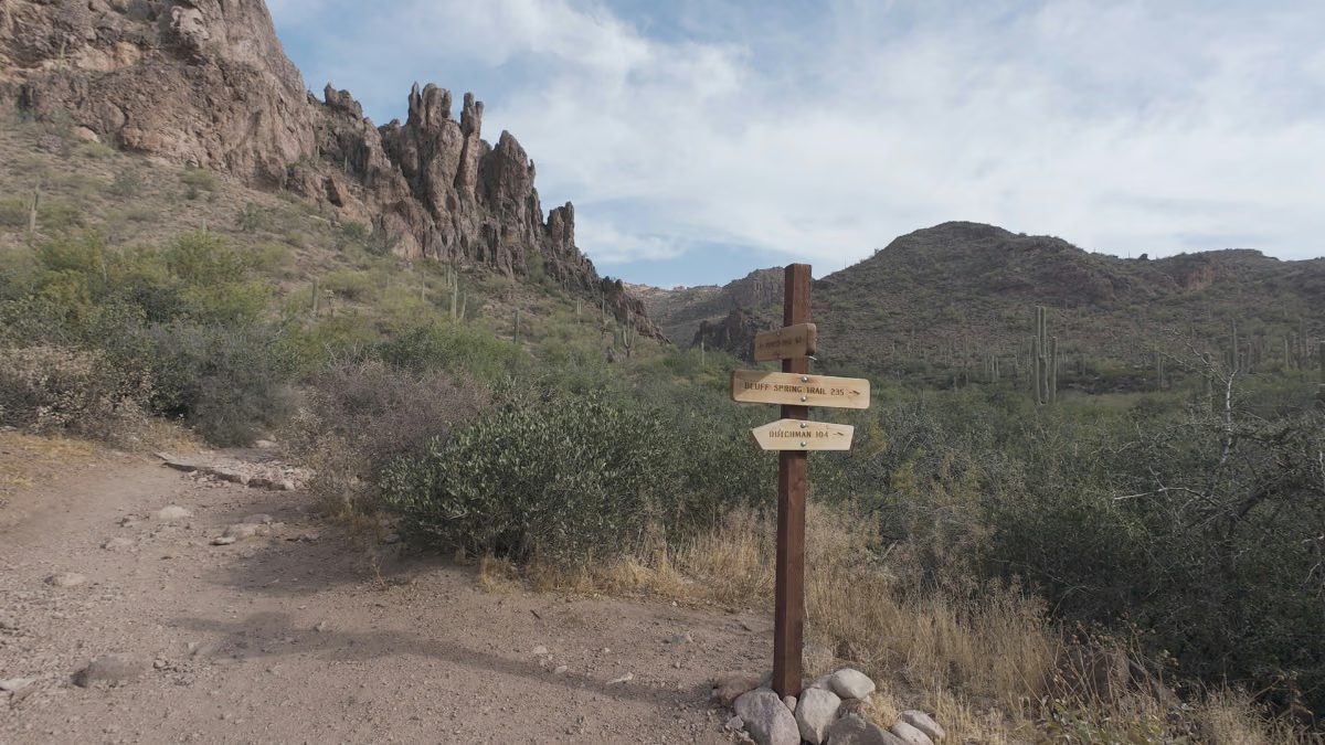
- Turn back toward the Needle on Dutchman Trail #104, then connect to Terrapin Trail #234.
- Follow Terrapin to Bluff Spring Trail #235, then finish back at Peralta Trailhead via the short Dutchman connector.
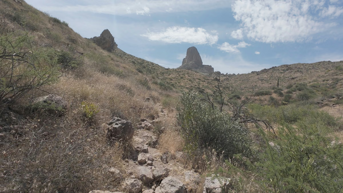
The initial climb to Fremont Saddle: The first 2.2 miles are a long climb. Going clockwise put this technical section at the beginning, which I preferred to descending it at the end. I’d hike the climb rather than force a running pace, then enjoy the first view of Weaver’s Needle at the top.
- Liked: Getting the big view after the opening climb and taking the technical section uphill.
- Watch for: Don’t judge the whole loop’s runnability by the first couple of miles. The running changes once you’re over the climb.
From the first Needle view to roughly mile 6: This was the stretch that made me want to come back and run more of the loop. You get a nice downhill mixed with flatter sections, giving you room to settle into the run after the climb. It’s a lot of fun, and it continues until the climbing picks up again around mile 6.
- Liked: Downhill and flat stretches where I could settle into a run.
- Watch for: Around mile 6, take Dutchman Trail #104 back toward the Needle rather than continuing on Peralta.
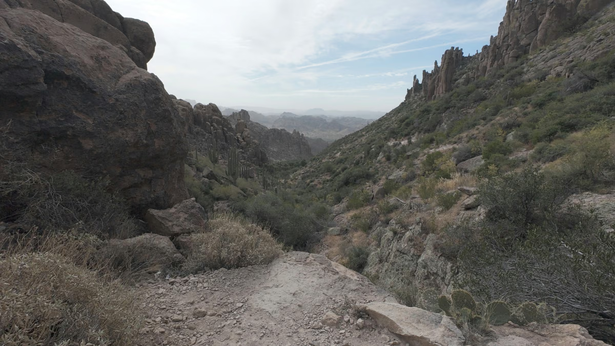
Dutchman, Terrapin, and the return: After that turn, the next four miles or so have a series of ups and downs. Run the climbs if you want a workout, or hike them and enjoy the scenery.
Most of the loop was straightforward to follow, but Terrapin was the trickiest part to navigate. Having the GPX was valuable here. Download it before heading out and check the track at junctions rather than relying on the most obvious path. Bluff Spring brings you back toward the trailhead, with a short Dutchman connection at the finish.
- Liked: The option to turn the rolling terrain into a workout, plus spotting bighorn sheep on the way back.
- Watch for: Terrapin navigation, possible rattlesnakes, and the heat. There’s little shade along this route, so start as early as you can.
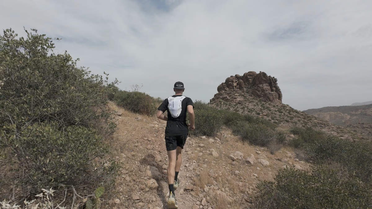
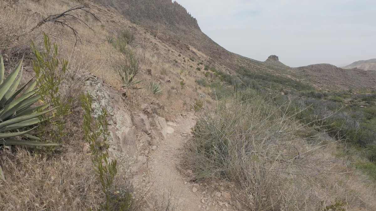
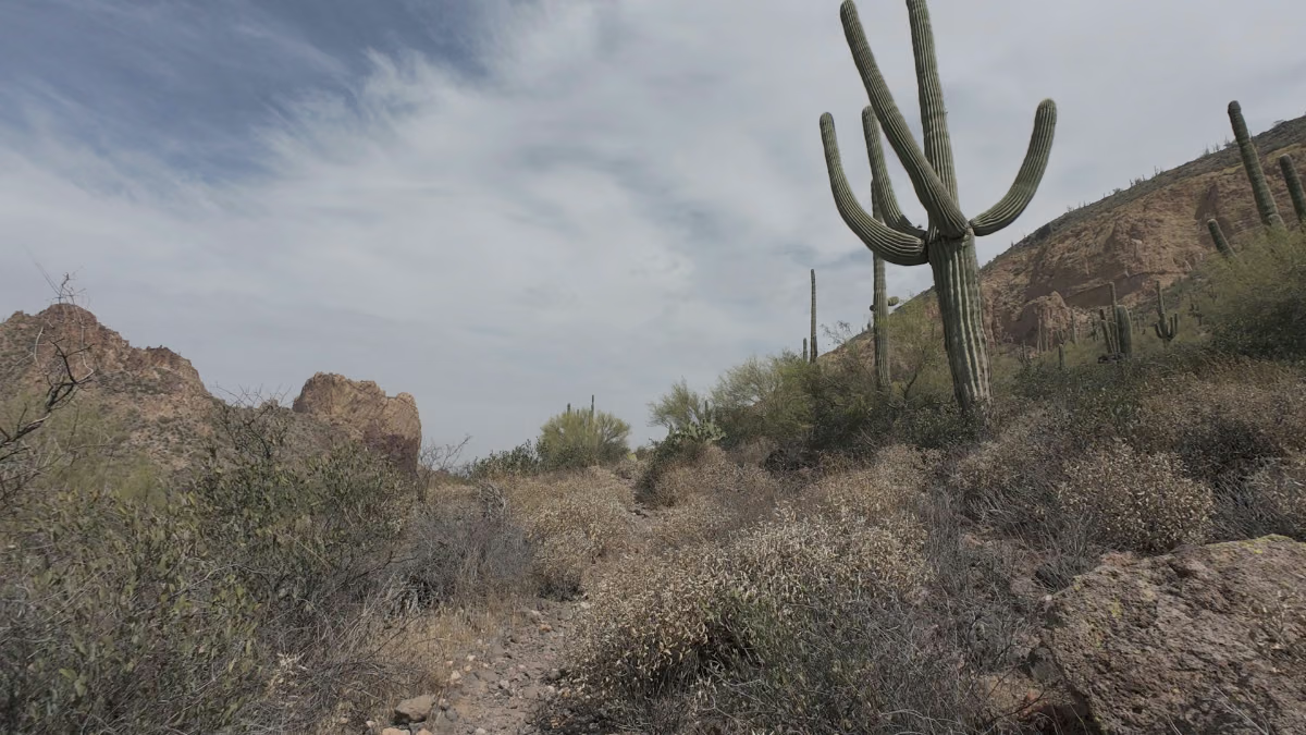
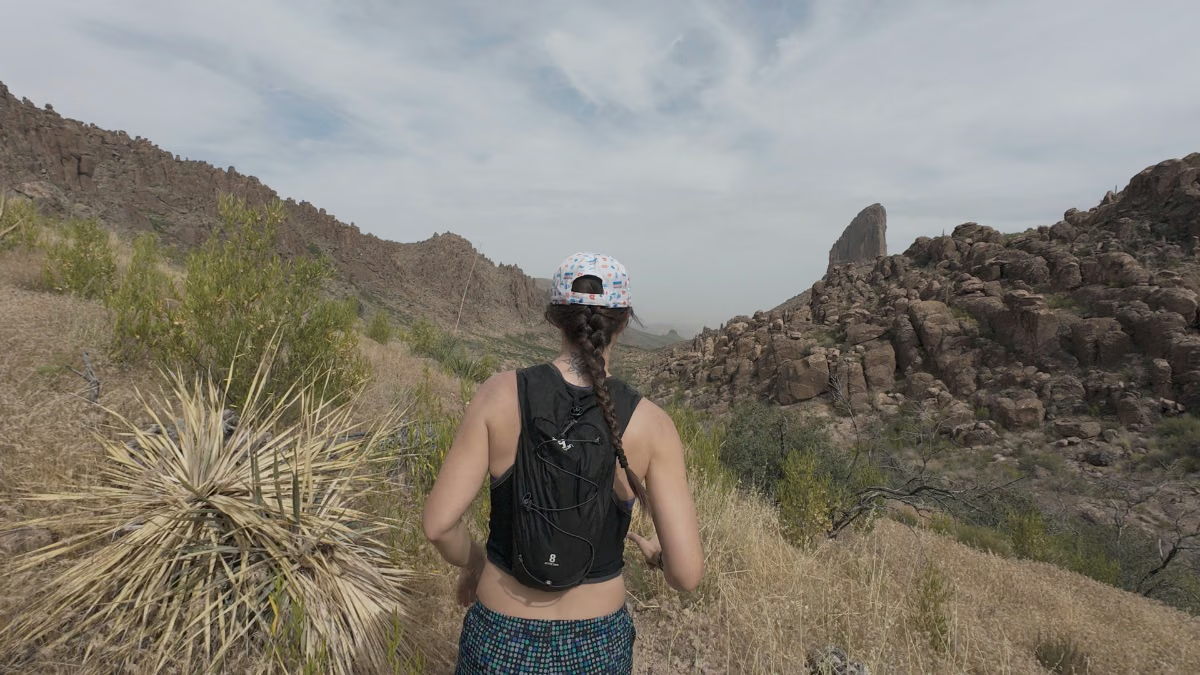
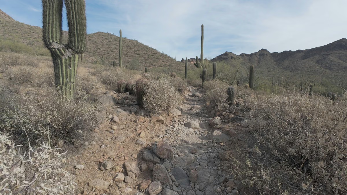
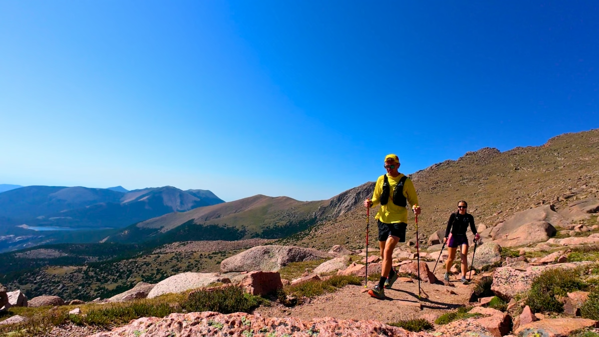
Photos from Weaver’s Needle Loop
Logistics
- Fees: The Forest Service lists no fee for Peralta Trailhead.
- Water and heat: There is no potable water at the trailhead. Bring what you need for the full loop plus a reserve, and don’t plan around finding water along the way. Start early, choose a cooler forecast, and avoid the hottest part of the day. The Tonto safety guidance recommends extra water and sun protection.
- Crowds: My 2/10 crowd rating reflects how quiet it was during our outing.
- Navigation: Save the GPX and an offline map before leaving. Terrapin was the hardest section for me to follow; carry a backup map rather than relying on reception.
- Wildlife: Watch where you step and give any rattlesnake plenty of space. We also spotted bighorn sheep on the return.
- Leave No Trace: Stay on the trail, pack out what you bring in, and leave wildlife undisturbed.
Nearby trails
For other Arizona trail-running options, start with these firsthand reviews:
- Pass Mountain Trail (7.87 miles, 951 ft elevation gain), a shorter loop near Mesa with rolling dirt trails after the opening climb.
- Treasure Loop Trail (3.01 miles, 528 ft elevation gain), also in the Superstition Mountains area.
- Camelback Mountain: Echo Canyon to Cholla Trail (5.68 miles, 1,522 ft elevation gain), a Phoenix alternative rather than a connecting trail.
Leave a Reply