
The Pass Mountain Trail near Mesa is an excellent choice if you want rolling trails and open desert views, and it was one of my new favorites on a recent trip to Phoenix.
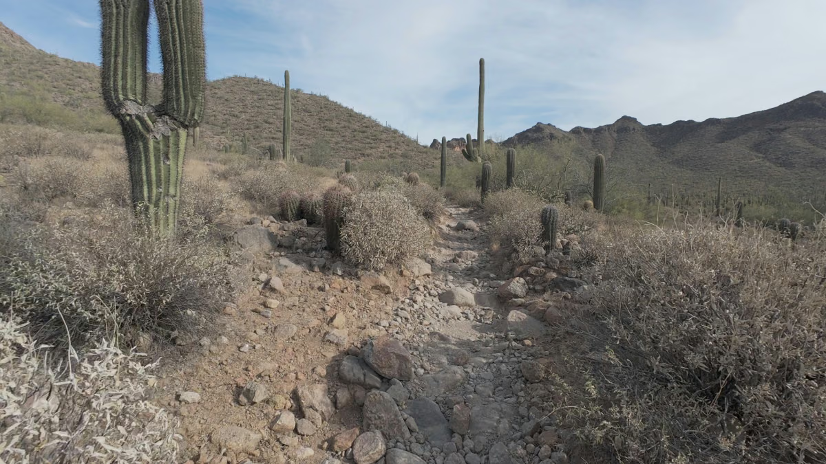
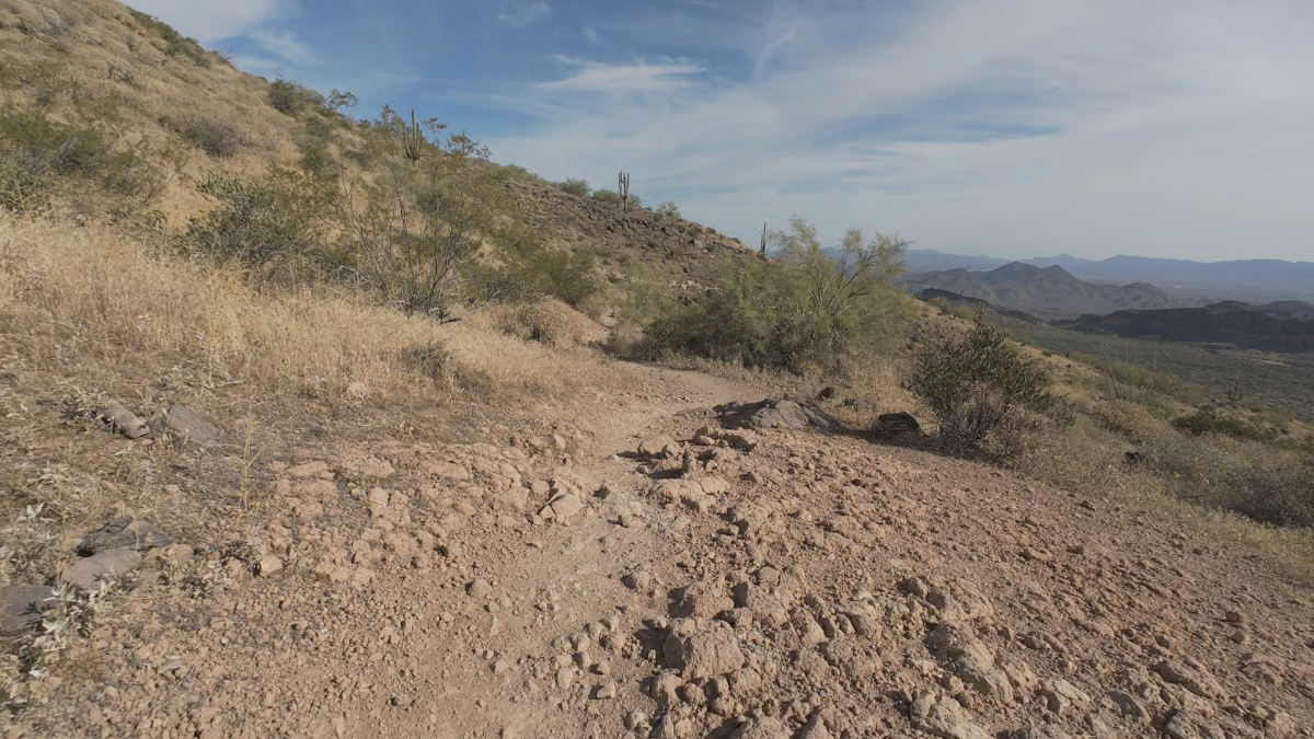
I could put in a good effort on this trail without having to watch for rocks, roots, or anything else looking to end my run early, which is great whether you want to keep things easy or speed it up a bit.
My counterclockwise route came in at 7.87 miles with 951 feet of climbing. There was some hiking, but most of it was very runnable for me. You’ll want to be comfortable with the distance and climbing, even with the relatively straightforward footing. I started outside the main park entrance, so check your starting point when comparing distances or following my route.
Parking and timing are worth sorting out beforehand as well. The lot I used was small, and there wasn’t much shade on the trail. The heat was becoming a factor by the end of my April run, even after we’d started planning our outings to finish before it got really hot.
But I’ll dive into all that and more below.
Pass Mountain Trail at a Glance
- Route type
- Loop, counterclockwise on my outing
- Start → finish
- Meridian / Bulldog Pass Trailhead, north end of Meridian Road → same trailhead
- Highest point
- Approximately 2,552 ft in my GPX recording; GPS-derived, not an official surveyed elevation
- Terrain
- Mostly clear dirt with few rocks or obstacles; steepening opening climb, then runnable rollers and a comparatively flat finish
- Exposure
- Little shade; heat became noticeable toward the end of my April run
- Water
- Arrive with your water; refill facilities at this outside access point are not verified
- Landmarks
- Pass Mountain · distant mountains and cactus-covered terrain after the opening climb
- Navigation
- Counterclockwise: eastern climb → northern traverse → western descent → southern return
You can find more of my runs in the Trail Running Route Database.
Should you run it?
Yes. I’d recommend Pass Mountain to someone who wants to get a proper run in while they’re near Mesa. Beyond the opening climb, I could keep moving without constantly stepping over rocks or slowing for obstacles.
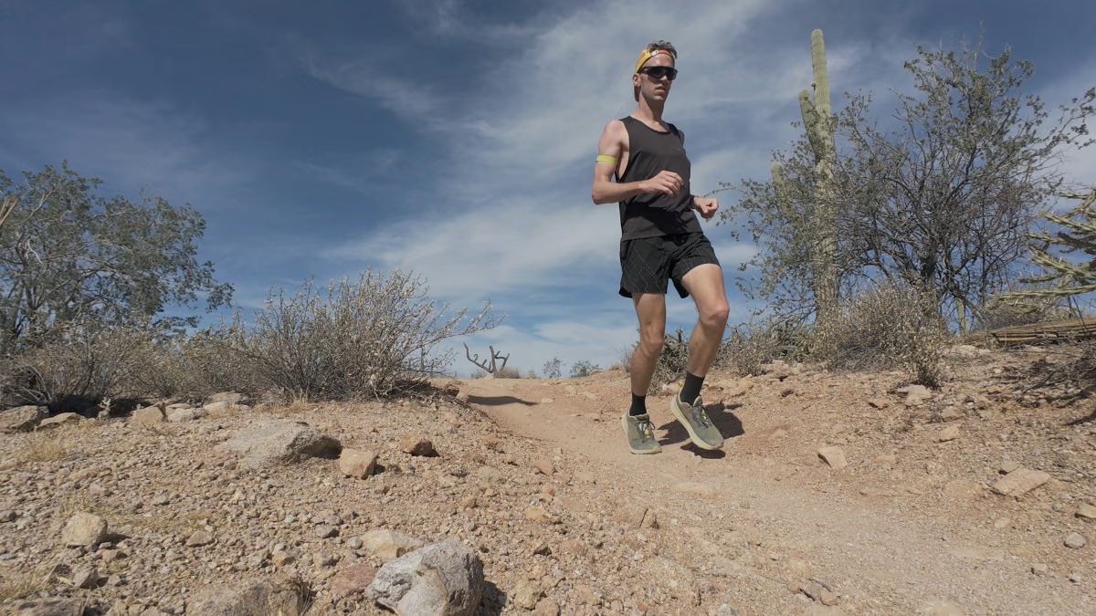
The rolling hills gave me enough climbing to work at, and I enjoyed being able to push through them. If your workout depends on holding an exact pace, though, the changing grades may be a headache. I’d choose this for the running itself, not for flat mile splits (though I did a tempo workout here and thought it was great).
Run Pass Mountain Trail if you:
- Want a longer desert loop where you can enjoy the views and still get a good run in.
- Don’t mind hiking an early climb to reach mostly runnable trail afterward.
Skip Pass Mountain Trail if you:
- Need flat terrain for a tightly paced workout.
- Want scrambling or a more technical challenge.
Pass Mountain Trail trailhead directions
For my route, I headed to the Meridian / Bulldog Pass Trailhead at the northern end of Meridian Road. It’s on the southeastern side of the loop, and the county map calls it Bulldog Trailhead. Don’t navigate to the main Usery Mountain Regional Park entrance if you want to follow my track from the start (though you can still do the same loop from within the park).
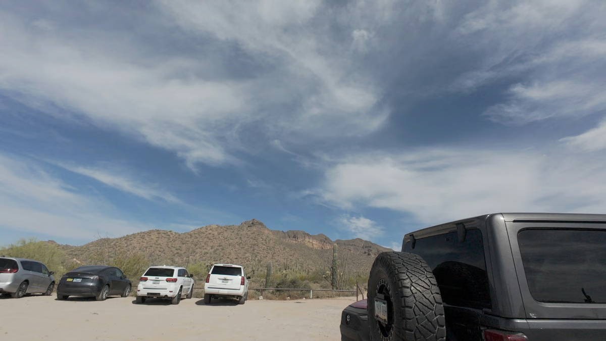
The small lot is the drawback here. Depending on when you arrive, you may have trouble finding a space. You’ll also pass a parking area inside the regional park during the loop, so starting there is an alternative if you’re willing to pay the park’s entry fee.
For that option, the main entrance is at 3939 N. Usery Pass Road, Mesa. The park’s current gate hours are 5 a.m.–9 p.m. May through October and 6 a.m.–8 p.m. November through April. The county lists vehicle entry at $10 and hike/bike/equestrian entry at $5. I can verify the $10 entry for cars as Kaitlyn and I visited one day on our trip.
The route
I went counterclockwise from the southeastern access point:
- Start at the Meridian / Bulldog Pass Trailhead and follow Pass Mountain Trail counterclockwise up the eastern side toward the saddle.
- Continue around the northern side, taking the short spur to the Bulldog Canyon viewpoint at about 3.5 miles before returning to the loop.
- Follow the trail down the western side, passing the park’s staging-area connection around mile 6.
- Continue along the southern side back to Meridian. Keep the GPX handy where other trails branch off.
The mile markers are approximate and based on my recording.
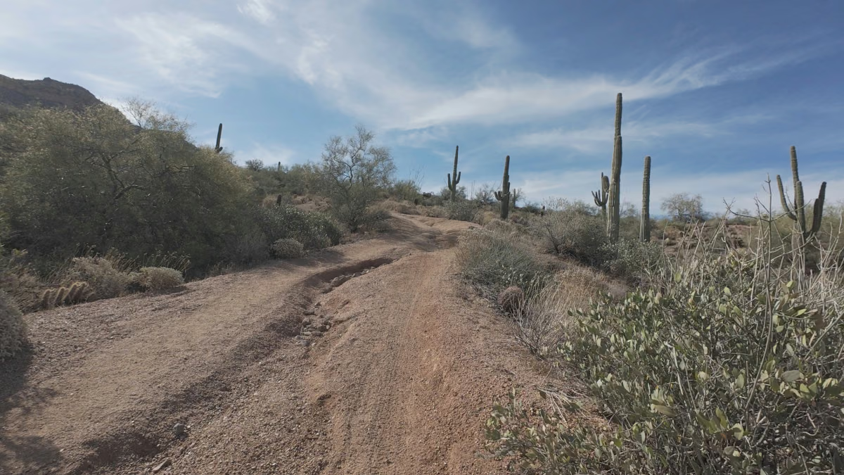
The start & opening climb: It’s somewhat flat at the start of the trail, but that only lasts for a bit. The trail starts climbing steadily, with some nice views back toward the parking lot. It eventually steepens enough that I had to hike, but this was the only climb on the route where I had to.
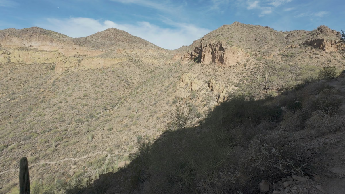
Don’t let the slow start put you off the run. Once I crested it, I had almost exclusively runnable trail ahead and a very pretty view of the mountains in the distance. That made the climb worth it.
- Liked: The transition onto rolling trail at the top. That’s where the run got good for me.
- Watch for: A steady start can make the climb seem more manageable than its steeper upper part. I ended up hiking that section.
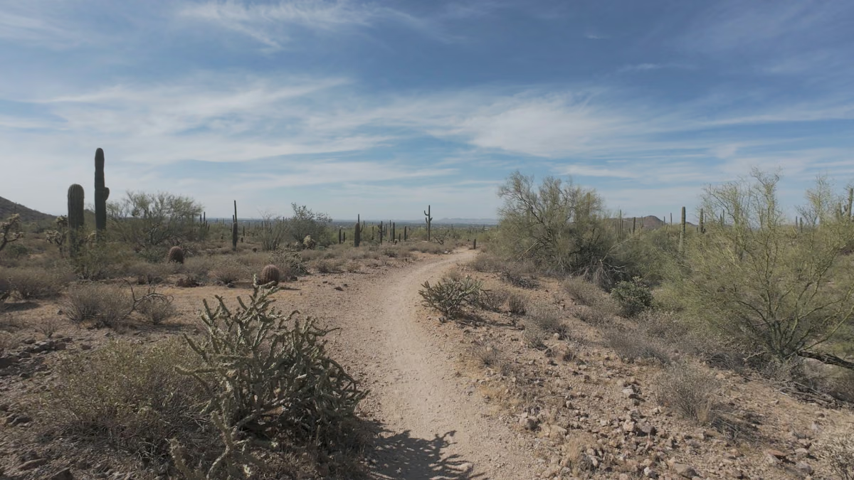
Beyond the climb and around the northern side: This was my favorite part. I was working through the tempo effort with distant mountains to my right and cactuses spread out below. It was a great stretch to be running, even while I was pushing myself.
The clear dirt helped. There were few rocks or obstacles to pull my attention away, so I could keep a consistent cadence and actually look around. The little climbs added some effort without repeatedly bringing me down to a walk. Then I heard a rattlesnake and kicked into a gear I haven’t accessed since I was 16 years old.
- Liked: Being able to take in the mountain views while keeping the run moving.
- Watch for: The rattlesnake caught my attention here. Keep aware of what’s around you, even when the footing is easy.
Western descent: On the western side, I headed toward the park’s developed trail network. I passed some bikers on my route but there’s plenty of space to either step off or just move closer to the edge of the trail. The trail still had small rises, but I could keep a steady rhythm through them.
- Liked: A descent where I could stay in a rhythm.
- Watch for: Save a little effort for the remaining rises. Getting over the first climb doesn’t mean it’s all downhill from there.
Southern return: The finish was relatively flat compared with the rest of the loop. I could keep running comfortably over the terrain, although the heat was beginning to matter by then. After a few days in the area, we’d started planning our runs to finish before it got really hot. This run still warmed up toward the end, with little shade to help. I’d keep an eye on how much the temperature is expected to rise while you’re out.
It’s just an easy (comparatively) winding trail back to the start. I passed very few people in this area and just coasted along until my cool down for the final quarter mile.
- Liked: A flatter stretch to finish on after the earlier climbing and rollers.
- Watch for: The heat can catch up with you late in the run. Plan for the return conditions as well as the start.
Photos from Pass Mountain Trail
Logistics
- Fees: Driving into Usery Mountain Regional Park currently costs $10 per vehicle. Confirm any trail-entry fee from the outside Meridian / Bulldog access before going.
- Water and heat: Finish before the hotter part of the day. There’s little shade, and I was feeling the heat toward the end of my run. Bring enough water for the full loop.
- Crowds: It was quiet on my run, which made it easier to keep moving. Don’t count on the same experience on an event day or busy weekend.
- Navigation: The trail is fairly easy to follow, but I’d suggest using the GPX for the final few miles, where other trails start splitting off.
- Leave No Trace: Pack out what you bring in and stay on the established trail.
Nearby trails
A few other Phoenix-area routes I’ve run:
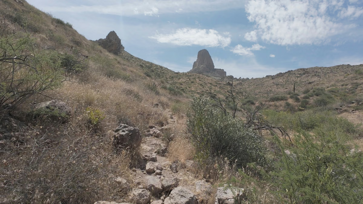
- Weaver’s Needle Loop (12.54 miles, 3,077 ft elevation gain).
- Treasure Loop Trail (3.01 miles, 528 ft elevation gain).
- Camelback Mountain: Echo Canyon to Cholla Trail (5.68 miles, 1,522 ft elevation gain).
Leave a Reply