Gear & Logistics
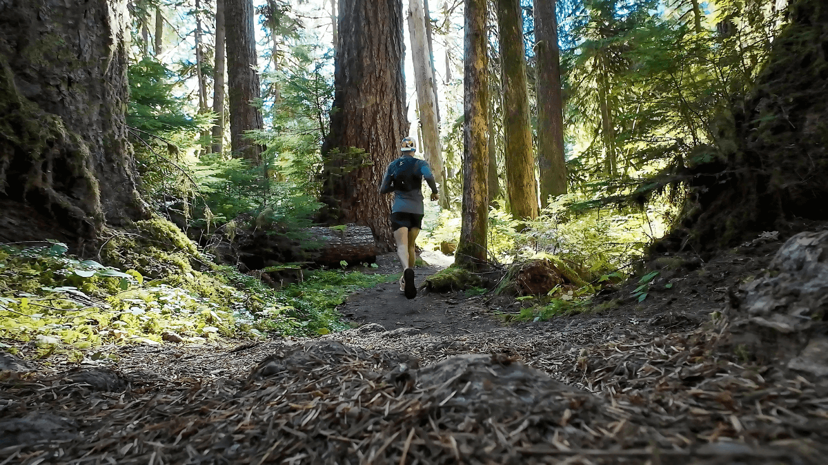
One of my favorite things about traveling is lacing up and exploring a new place on foot.
Sometimes I’ll plan a few trails ahead of time. Other times, I’ll just find a green spot on the map and see where my legs take me.
But here’s the thing — finding good running routes matters.
Before I started using the apps and methods I do now, I can’t tell you how many times I’d realize after a trip that we were staying just minutes from incredible trails… and I missed them completely.
Now?
I usually know the best running routes before I even land. I book places near the best spots. And I waste way less time stressing or aimlessly jogging through concrete jungles.
When you put the run first and plan everything else around it, it’s easy to have a perfect runcation.
So if you’re a travel runner — or just want to stop missing out on epic runs when you’re away from home — these are the running trail apps you’ll want to have ready.
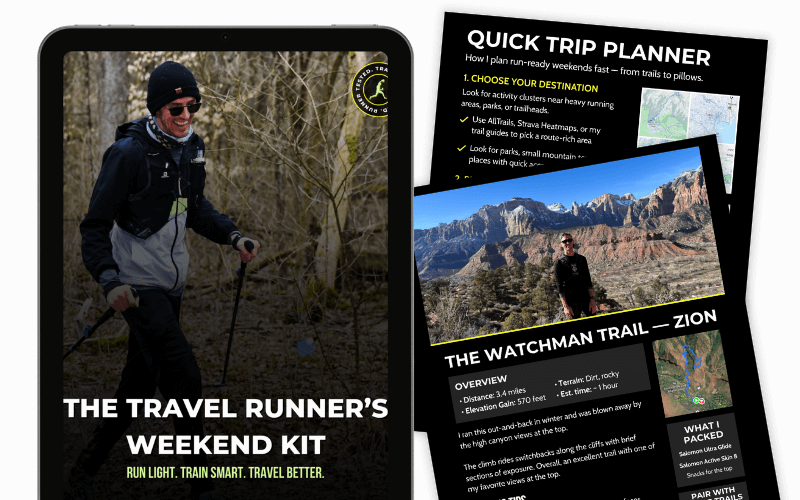
Get the Runner’s Weekend Kit!
- 3 ready-to-run itineraries for national parks and weekend escapes
- My personal runcation packing list — what to bring (and what to skip)
- A quick-start trip planner to choose trails, book stays, and pack fast
Best Running Route Planners for Runners
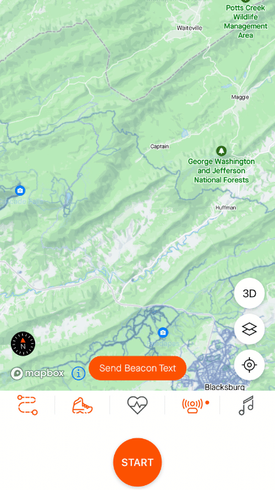
1. Strava

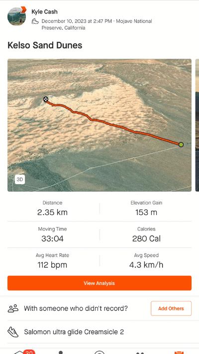
If I could only use one app to find running trails while traveling, it’d be Strava — no question.
I use it both before and during trips. Before, I’ll zoom out on the heatmap to find the best general areas for running — which helps me choose where to book accommodation. Then once I’m on the ground, I’ll dive in and use the heatmap + route builder to create my own loops depending on how I’m feeling that day.
One of my favorite routes I ever created was in Saranda, Albania — I used Strava to stitch together a run that took me up and out of Saranda into the surrounding hills before coming back down them for an epic downhill with panoramic views over the beach and coastline.
I never would’ve found that route without the heatmap.
Why I Use It as a Travel Runner:
- Heatmaps: My favorite feature, hands down. They show where real people run, so I’m not guessing whether a trail is actually good or runnable — I can see the foot traffic.
- Route creation: I almost never use Strava’s “suggested routes.” I’d rather build my own based on what looks fun, challenging, or scenic, so I use their Route Creator quite often.
- GPX sharing: Once my route’s created, it’s extremely easy to download the GPX and get it over to my Coros watch. If I don’t know the area 100%, I always have that file loaded — and it’s saved me more than once.
Pro tip for running trail apps:
You don’t need to overthink the filters — just turn on the run heatmap and zoom in. Look for where runners are clustering, especially away from traffic-heavy zones or tourist areas.
Pricing
Strava has a free version and you can view the Heatmap for free. But for planning, you need the paid version, which is $11.99/month or $79.99/year.
Download Strava from the App Store or Google Play Store: Apple | Android
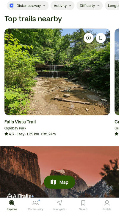
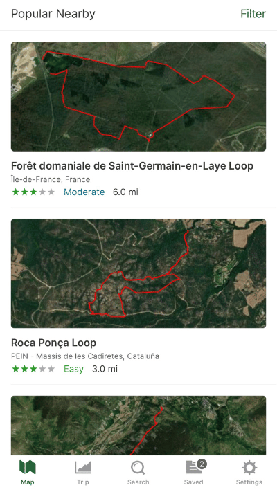
2. AllTrails

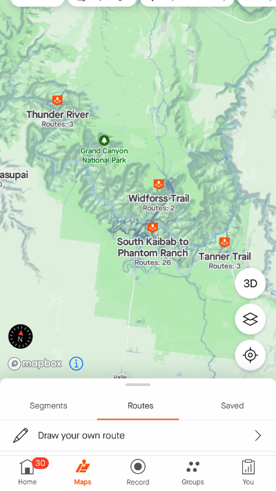
When I’m heading somewhere with a strong trail system — like a national park, a protected area, or even a small mountain town — I always pull up AllTrails alongside Strava.
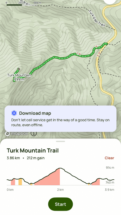
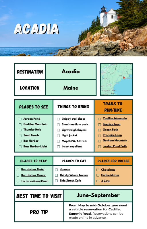
It’s perfect for places where the trails are more established or regulated. And if you’re running in a national park, odds are you’ll need to follow certain designated trails anyway — AllTrails makes that simple. That’s how I found the Gower Gulch Loop in Death Valley and Sol Duc Falls Trail in Olympic National Park.
Plus, you’re able to download offline maps for areas where you won’t have cell service. This is a pretty standard feature for most hiking trail apps, but it’s worth mentioning.
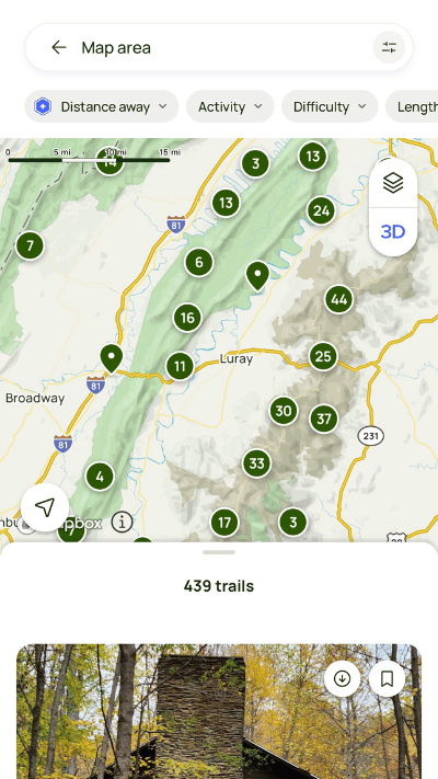
AllTrails has saved me tons of time by letting me batch scout trails.
Instead of piecing together random hikes from Google searches, I can see everything laid out, pick the best loops or out-and-backs, and stack them if I want to hit multiple in one day.
It’s not 100% perfect — some of the trails are definitely more hiker-focused than runner-focused. And if you’re heading somewhere less popular, you might not get fresh updates or photos.
But overall, it’s a must-have in my travel runner toolkit.
Why I Use It as a Travel Runner:
- Trail density view: I love being able to zoom out and immediately see how many trails cluster in an area. It’s an easy way to pick where to stay without opening ten different maps.
- Save + download: I’ll usually save/bookmark multiple trails for quick reference when I get there. If I know service might be spotty (which happens a lot near parks), I’ll download them offline through AllTrails Pro.
- Community trail info: One of my favorite features — real runners and hikers upload photos and trip reports. I can quickly spot if a trail is muddy, snow-covered, or washed out before I waste a morning slogging through it.
Pricing
AllTrails has a free version and a premium version. Paid plans start at $35.99/year.
Download AllTrails from the App Store or Google Play Store: Apple | Android
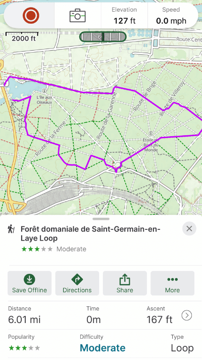
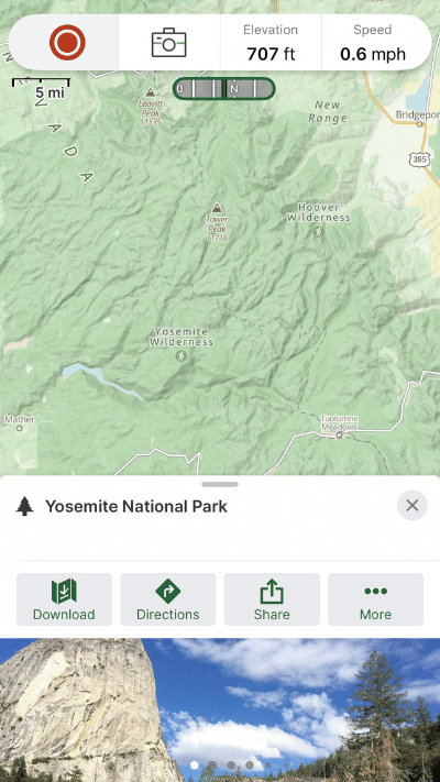
3. Gaia GPS
Out of the three apps I use, Gaia GPS is the one I turn to the least — but when I do need it, I’m always glad it’s there.
It’s my go-to for remote routes, long-distance trail systems, or any time I’m heading somewhere that might not show up cleanly on AllTrails or Strava. I’ve used it as a backup plenty of times — whether to verify a trail mid-run, double-check a junction, or just get a better top-down view of the terrain I’m heading into.
It’s not as intuitive as the others — Gaia has more of a learning curve, for sure.
But it also has more depth. Once you get the hang of it, it’s a seriously powerful tool for navigating off-grid.
Why I Use It as a Travel Runner:
- Topo maps: They’re accurate and detailed, great for understanding climbs, ridgelines, and water sources — especially helpful if you’re heading into the backcountry or fastpacking.
- Trail verification: I’ll often compare Gaia with AllTrails and Strava when I want a third source before heading out on a new trail.
- In-the-moment navigation: I might not plan my routes in Gaia, but I’ll open it mid-run for quick glances when I need to orient myself.
Pricing
Gaia GPS has a free version and a premium version. Paid plans start at $59.99/year.
Download Gaia GPS from the App Store or Google Play Store: Apple | Android
Grab These Running Trail Apps Now
Whether you’re running urban loops in a new city, lacing up in a national park, or stitching together a backcountry route for a big adventure day — having the right tools makes the entire experience smoother, safer, and way more fun.
These three apps — Strava, AllTrails, and Gaia GPS — have helped me find incredible routes I would’ve missed otherwise, save time on planning, and feel more confident every time I head out the door in a new place.
Every travel runner has their own system. This is mine — and it’s made every runcation better.
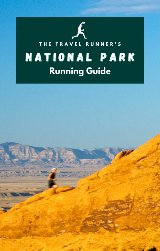
And speaking of runcations, one of the best ones I’ve gone on was through 15+ national parks over a three-month span! And, to help anyone else who wants to also run through our national parks, I’ve created a National Park Running Guide to save you time. Grab them below! ?
Run Through Our National Parks!
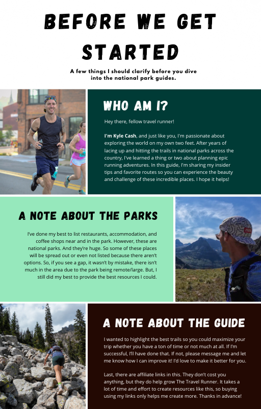

Kyle Cash | Trail Journal
I’m Kyle — the runner behind The Travel Runner. I run trails all over the world to bring you stories, tips, and gear that actually works. From national parks to forgotten paths, I’ve got mud on my shoes and too many snacks in my pack.
Let’s go find new ground.
Leave a Reply