
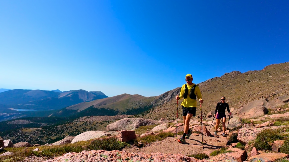
Pikes Peak was my first Colorado fourteener, and it ended up being one of my favorite days of the trip. Kaitlyn and I took Barr Trail up from Manitou Springs in early August, starting in the dark and finishing above 14,000 feet with a couple of summit donuts.
There are stretches you can run, but I spent most of the climb hiking. Between the elevation gain, the altitude, and the rockier upper miles, this is a day where I’d focus more on keeping a sustainable effort than holding a pace. The views above treeline made the slower miles pretty easy to appreciate.
This review covers our one-way ascent with a friend picking us up at the summit. If you’re planning to run or hike back down, that’s a much bigger outing than the one described here.
Pikes Peak via Barr Trail at a Glance
- Route type
- One-way ascent · friend picked us up at the summit
- Start → finish
- Manitou Springs parking → Barr Trail → Pikes Peak summit
- Highest point
- Pikes Peak · 14,115 ft
- Terrain
- Dirt singletrack and wooded switchbacks, then rockier alpine trail
- Exposure
- Upper miles above treeline · wind, storms, and altitude
- Water
- Carry your own · no potable water at Barr Camp; treat natural water
- Standard round trip
- Approximately 26 miles and 7,500 ft climbing; not the outing I did
- Difficulty
- Strenuous · long climb with significant altitude
My one-way track includes the walk from our parking area in Manitou Springs to the trailhead and the ascent to the summit. It does not include a descent route.
My watch started at the car, so those numbers aren’t a measurement of Barr Trail alone. Your total will depend on where you park, any extra walking, and how you get down. The City of Manitou Springs lists the full summit-and-back route at approximately 26 miles. Don’t use our ascent time as an estimate for that round trip.
Should you run Barr Trail up Pikes Peak?
Yes, if you want a big mountain day. I was training for a 100-miler when we went, and this gave me plenty of climbing and time on my feet. It also gave me a reason to slow down and enjoy a mountain I’d been looking at throughout our stay in the area.
But I wouldn’t choose it for an easy vacation run. The climb keeps going long after you reach Barr Camp, and the upper mountain asks a lot more of you than the smoother trail below it. Being comfortable running a half marathon doesn’t automatically make a summit attempt at this altitude comfortable.
Try Pikes Peak via Barr Trail if you:
- Want a long climb and a mix of running and hiking
- Have experience with long mountain outings and are prepared for altitude
- Want open alpine views and a summit that feels earned
- Can plan your start, turnaround, water, and descent before heading out
Skip Pikes Peak via Barr Trail if you:
- Want an easy route where you can settle into a consistent running pace
- Have limited time or no reliable way down after a one-way ascent
- Aren’t equipped for changing weather, exposed terrain, or a much longer day than expected
- Are dealing with altitude symptoms or a forecast that makes the summit unsafe
How runnable is Barr Trail?
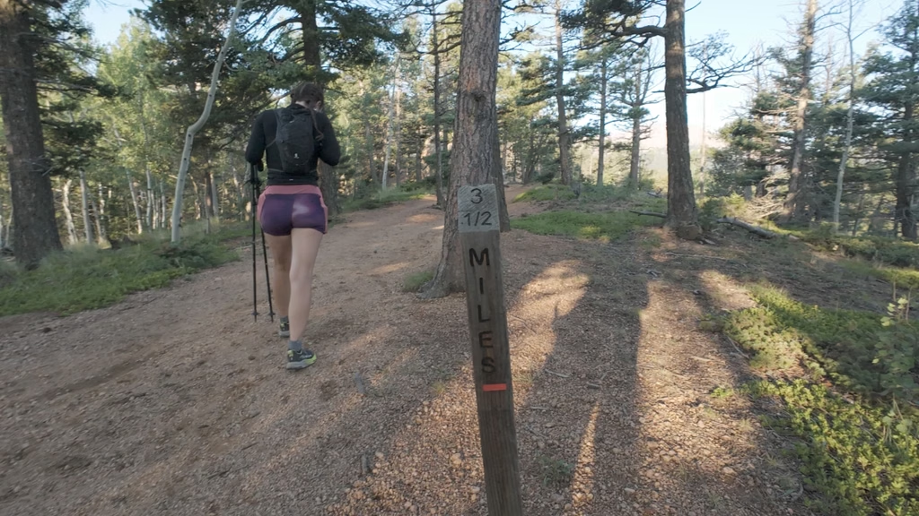
The lower part was more runnable than I expected. There were smoother stretches where we could jog, and the footing didn’t feel as technical as some of the trails I’d been on in New Hampshire. There are also little breaks in the climbing before Barr Camp, including some flatter and downhill sections.
That said, I mostly hiked. The sustained uphill was enough of a workout without trying to run every section that looked runnable. We saw people running uphill, so it’s definitely possible if that’s your fitness level and goal for the day. I was happy keeping our effort manageable.
Above camp, the rocks, climbing, and altitude gradually take over. Near the upper mountain, one of our miles took around 32 minutes. We were taking more breathers by then, and I’d expect your pace to change quite a bit as you gain elevation. I didn’t descend on foot, so I can’t give you a firsthand assessment of running the whole way back down.
Getting to Barr Trail and parking in Manitou Springs
We parked in a paid lot in Manitou Springs and walked to the trailhead. That approach added distance before we even started climbing Barr Trail, which is worth accounting for when you’re planning your day.
For parking closer to the start, the city lists the Barr Trail lot at 13 Hydro Street. Space is limited, and parking arrangements and rates can change, so check the current Manitou Springs parking information before you go. I wouldn’t assume you’ll get the closest spot just because you’re starting early.
The route: Manitou Springs to the summit
- Walk from your parking spot in Manitou Springs to Barr Trail.
- Climb the lower switchbacks and continue beyond the Incline junction.
- Follow the wooded trail to Barr Camp before the harder upper miles.
- Continue above treeline and through the rocky final climb to the summit.
- Meet your prearranged ride, as we did, or allow for the full descent on foot.
The lower switchbacks and Incline traffic
We started around 5 a.m., with Manitou Springs still dark. It was a summer Saturday, and the lower trail had quite a few people on it, including runners coming down from the Manitou Incline.
That traffic changed once we got beyond the Incline junction. More of the people we saw were heading toward Barr Camp or the summit. Everyone we encountered was pretty friendly, but there are narrow sections where you’ll need to make room for people moving at different speeds.
The early climbing is steady, but the surface gave us some opportunities to jog when the grade eased. I liked having those little breaks before the harder climbing later on.
- Liked: A few breaks in the climbing.
- Watch for: Two-way traffic near the Incline junction, especially on a busy weekend.
Stopping at Barr Camp
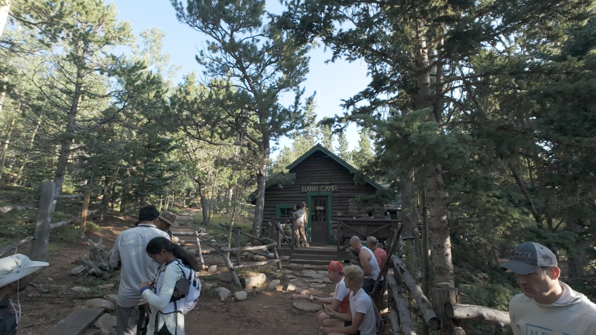
Barr Camp made a good place to sit down for a few minutes and eat. My watch showed about 7.9 miles from the car and roughly 2 hours, 45 minutes by that point, including our short break. I had some white bread and a protein bar before we continued.
It’s easy to treat camp like a major finish line when you’ve already been climbing for hours. But we still had around six miles to go, and those miles were harder than the ones we’d just covered.
There are restrooms, snacks and drinks for sale, and space to sit down for a bit. You can also refill from a small pipe, but treat the water before drinking it; Barr Camp says it doesn’t provide potable water. Bring a filter rather than counting on drinking water being provided. The camp rents filters if you need one.
- Liked: A proper snack break.
- Watch for: Water needs filtering, and the harder miles are still ahead.
Above camp and out of the trees
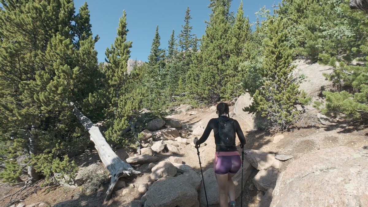
The trail starts feeling more rugged as you keep climbing. There are more rocks and roots to deal with, and I was glad to have poles for the uphill. I’d bought them the day before, so this was my first real chance to use them on a long mountain outing.
Once we got above treeline, the views opened up in a way they hadn’t below. You can look out across the mountains without trying to find a gap between trees, and this was easily one of my favorite parts of the day.
It was also windier, and the altitude became more noticeable. We’d already spent several weeks in Colorado, which I felt helped, but we still slowed down and took more breaks as we climbed. Give yourself room to do that instead of expecting the pace from your first few miles to hold.
- Liked: The views above treeline.
- Watch for: Wind, rockier footing, and a slower pace as the altitude starts making itself known.
The final climb and summit
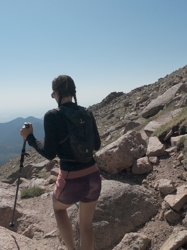
The final stretch includes the 16 Golden Stairs, a series of rocky switchbacks near the top. I was working my way up, catching my breath, and enjoying the view when we stopped.
At the summit, my watch showed 13.5 miles, 7,434 feet of climbing, and 5 hours, 43 minutes from the car. The second half had been tough, but getting up there with Kaitlyn made the whole day worth it. The summit donuts didn’t hurt, either. I had two.
- Liked: A first fourteener together.
- Watch for: The final rocky switchbacks take time. Keep your descent plan and turnaround time in mind.
Pikes Peak via Barr Trail photos
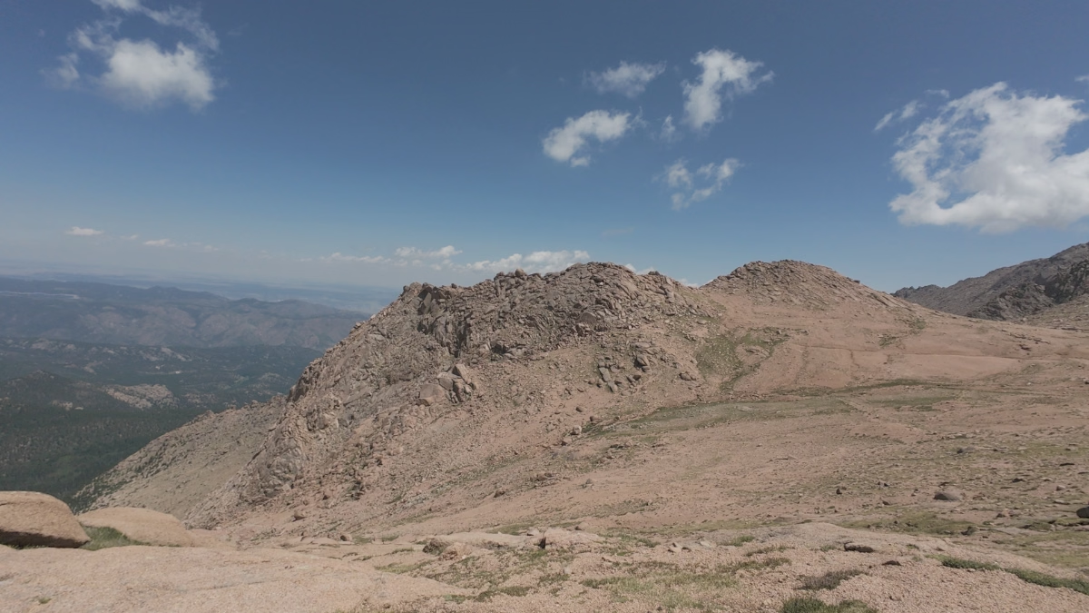
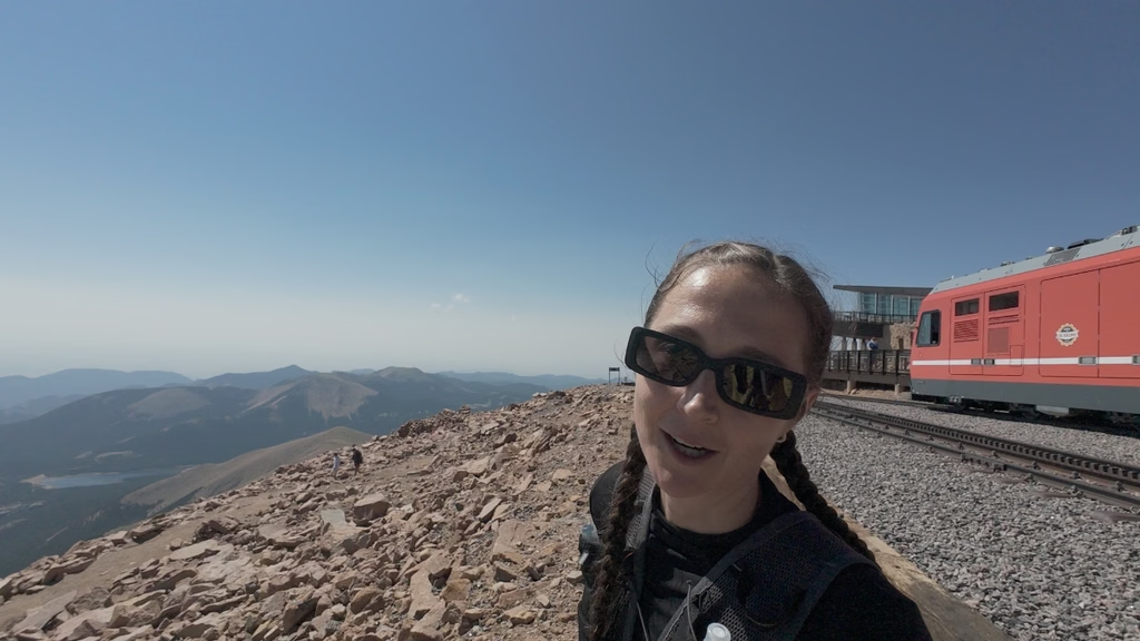
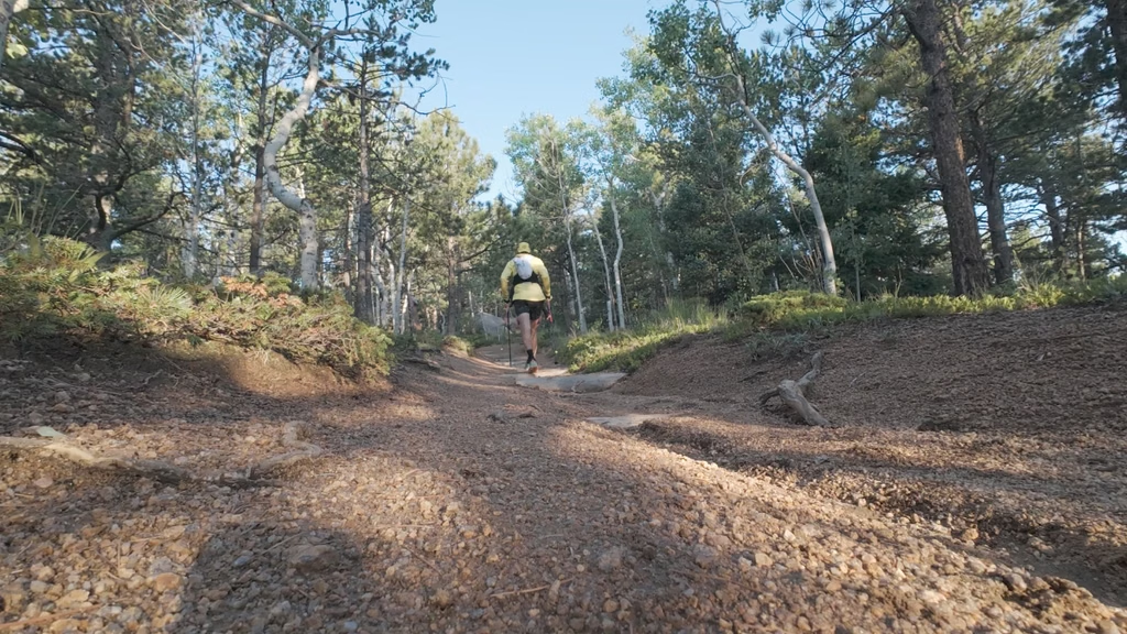
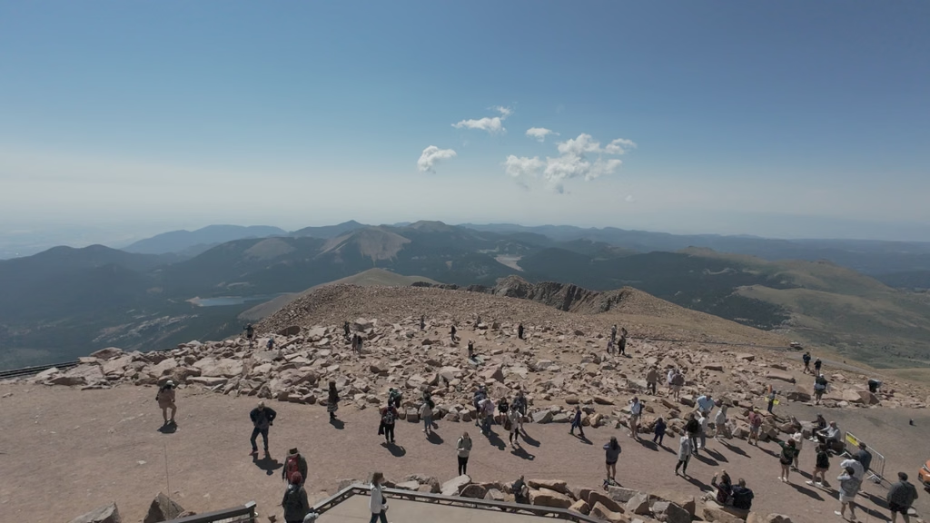
Plan how you’re getting down before you start
A friend picked us up at the summit. That meant we could finish our hike there rather than turn around for another long stretch on our feet.
If you want to do the same, arrange the pickup beforehand and check current Pikes Peak Highway access, operating hours, and reservation requirements with your driver. Weather or access restrictions can affect the plan, so you still need a realistic backup.
I wouldn’t build a one-way outing around hoping to buy a train ticket at the top. The Cog Railway FAQ says downhill-only tickets are extremely limited and not guaranteed. If you haven’t secured transportation, plan for the full descent on foot and turn around early enough to complete it safely. The highway is not a hiking route.
Weather, altitude, and what to bring
The upper section is exposed, and the summit is at 14,115 feet. A nice morning in Manitou Springs doesn’t tell you what the weather will be doing several thousand feet higher. Check the Pikes Peak forecast and current conditions before you head out.
An early start helps, but it doesn’t guarantee a safe summit window. The National Weather Service’s mountain lightning guidance recommends planning to descend by late morning. Set a turnaround time based on the forecast and your pace, and don’t keep climbing into building storms just because the summit looks close.
- Water and food: Carry enough for a long outing and unexpected delays. Have a treatment plan if you intend to use natural water.
- Layers: Bring protection from wind, cold, and rain even if it feels comfortable at the trailhead.
- Headlamp: Useful for a pre-dawn start and essential backup if your day runs long.
- Navigation: Download your route before leaving. Don’t rely on cell service or other people to keep you on course.
- Poles: I found them helpful on the sustained climb, particularly farther up the mountain.
- Sun protection: The upper trail has no tree cover to hide under.
Take altitude symptoms seriously. If you develop a headache with nausea, dizziness, or unusual fatigue, stop ascending and descend if symptoms persist or worsen. Confusion, trouble walking, or breathlessness at rest require urgent help and descent. Being fit doesn’t make you immune to altitude illness.
More trail running near Pikes Peak
If you want something shorter or more runnable while you’re in the area, these are worth a look:
- Lovell Gulch Trail: A roughly five-mile loop near Woodland Park with smoother footing and some climbing.
- Rampart Reservoir Trail: An option for a longer run without taking on a fourteener.
- Catamount Falls via Thomas Trail: Another nearby route to consider when you don’t want to commit your entire day to the summit.
You can find the rest of my reviewed routes in the Trail Running Route Database.
Is Barr Trail worth it?
For me, absolutely. The upper miles made us work, but I loved the views and getting to share my first Colorado fourteener with Kaitlyn.
If you go in expecting a long mountain day, give yourself enough time, and sort out the descent before you start, Barr Trail is a pretty memorable way to experience Pikes Peak. Just leave yourself the option to turn around. The summit will still be there for another day.
Leave a Reply