
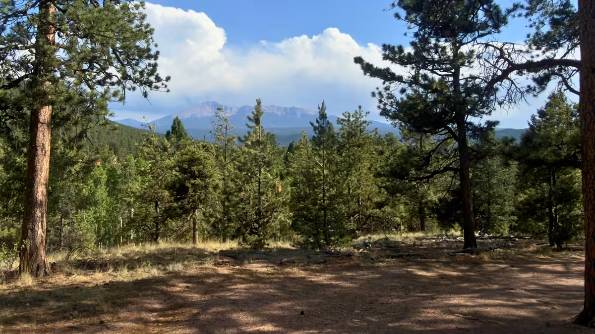
Lovell Gulch is a roughly five-mile loop near Woodland Park, Colorado, with smooth footing, some steep climbing, and a good view over the valley near the top. My recorded loop came out to 5.19 miles with 869 feet of gain, and it became one of my go-to runs during the six weeks I stayed in Woodland Park.
I kept coming back because I knew exactly what I was getting. Enough climbing for a workout, plenty of trail where I could settle into a rhythm, and the option to add White Gulch or another loop if I wanted more.
I ran it in both directions, usually preferred counterclockwise, and came away rating it an 8/10 overall. If you enjoy climbing but don’t want technical footing slowing down every runnable stretch, Lovell is a good one to have nearby.
Lovell Gulch Trail at a Glance
- Route type
- Lollipop loop · excludes the White Gulch extension
- Start → finish
- Lovell Gulch Trailhead → same trailhead
- Highest point
- 9,354 ft recorded
- Terrain
- Smooth, nontechnical trail with gradual uphill stretches and steep climbs
- Water
- Carry your own · I usually brought 500 mL–1 L on my July runs
- Direction
- Either · I prefer counterclockwise, taking the right fork at the loop split
- Views
- Valley views near the top, partly obscured by trees
- Navigation
- Follow the Lovell Gulch sign arrows to stay on the main loop
- Difficulty
- Moderate
Should you run the Lovell Gulch Trail?
Yes. This was one of the trails I returned to most while staying in Woodland Park, and there wasn’t much about the trail itself that disappointed me.
You’ll spend a decent portion of the loop climbing, and some of those hills were steep enough that I usually hiked them. But between the climbs and on the way back down, the smooth footing lets you get some actual running in. That mix is what kept bringing me back.
It also worked well as a familiar training route. I knew the distance and elevation gain, so I could head out for one loop or add more depending on the day.
Run the Lovell Gulch Trail if you:
- Enjoy a mix of runnable trail and uphill work
- Don’t mind hiking the steeper climbs
- Want smooth footing without much technical terrain
- Like having options to add distance and elevation
Skip the Lovell Gulch Trail if you:
- Don’t enjoy elevation gain on your runs
- Want a flat route where you can hold the same effort throughout
- Prefer technical footing that keeps you picking your line
How runnable is the Lovell Gulch Trail?
Fairly runnable, which is why I gave it a 7.5/10.
The footing was smooth and never felt particularly technical to me. When the grade eased, I could settle into a rhythm without spending the whole time thinking about where to put my feet.
The climbing was what interrupted that rhythm.
Unless I was doing a speed or hill workout, I usually slowed down and hiked the steeper sections. I’d rather save some energy there and enjoy the running afterward. You can push those climbs if that’s the workout you came for, but I wouldn’t expect an easy, continuous five-mile run just because the surface is smooth.
Crowds weren’t much of an issue, either. Even when the parking lot looked packed, people seemed spread out once I got onto the trail.
Lovell Gulch Trailhead directions
The route starts at Lovell Gulch Trailhead, off Rampart Range Road in Woodland Park.
Coming west on Highway 24, turn right onto Baldwin Street and continue as it becomes Rampart Range Road. Take the first left after Lee Circle and follow the drive to the parking area and trailhead. Visit Colorado Springs lists the turn at approximately 2400 Rampart Road.
Parking was fairly decent during my stay. I never showed up and couldn’t find a spot, although I’d still get there early on weekends or holidays.
The route
I’ve run Lovell in both directions. The breakdown below follows my preferred counterclockwise loop, with the clockwise option afterward.
- Leave Lovell Gulch Trailhead and follow the gradual uphill approach.
- Take the right fork at the main loop split to go counterclockwise.
- Follow the gentler sections before working into the steeper climbing.
- Continue toward the upper part of the loop and the valley views.
- Follow the Lovell Gulch arrows to stay on the main route rather than adding White Gulch.
- Complete the loop and follow the shared approach back to the trailhead.
The opening stretch
The trail starts with a gradual uphill. I usually used this part as my warmup. I’d walk the initial 5 minutes/half-a-mile (which usually had me at the top of the climb) before I started jogging on the flatter and downhill bit, which leads to the split.
Once you reach the loop split and head right, it’s a bit flatter and has some gentle uphill stretches. There’s still elevation gain, so don’t expect the climbing to disappear. It just gives you more room to run before the steeper hills arrive.
- Liked: Smooth footing and enough easy-grade running to keep it fun
- Expect: A gradual uphill to start, then come the steeper climbs
The climb and upper views
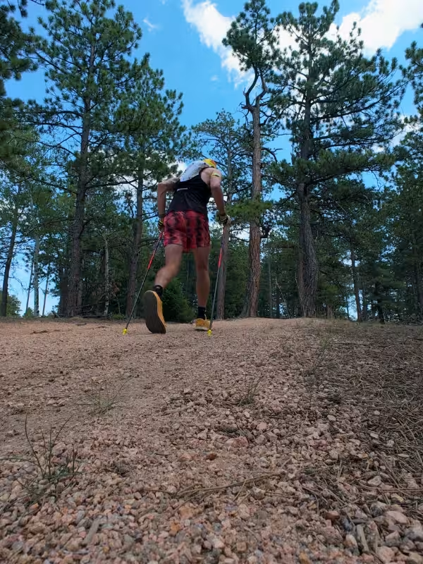
Eventually, the grade gets steep enough that I usually switched to hiking.
That was a pretty normal part of my runs here. If I was doing a hill workout, I’d push more of it. Otherwise, hiking made sense, and there was plenty of running left once the trail eased again.
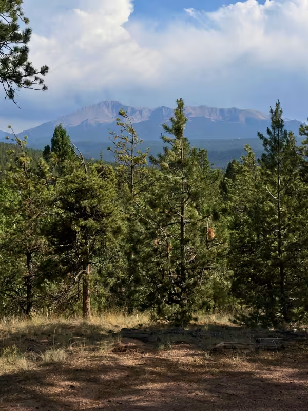
Near the top, you get a good view across the valley and down toward the Woodland Park area. Trees partly obscure it in places, while other sections give you a clearer look. This was consistently one of my favorite parts of the run. I never got tired of the view once I got past the climbs.
In fact, one of my favorite views is along the Lovell-White Gulch-Lovell Extension route (this is running the route clockwise, and you can find this route using the GPX button above). Right before you come down the final descent to link back up with the Lovell Gulch Trail, there’s a beautiful view out over the valley that’s worth checking out and gives you one of the most unobstructed views.
- Liked: Having a view to look forward to at the top
- Expect: Some hiking if you’re out for an easy run
The run back down
After the climbing, roughly the last mile to mile and a half of the counterclockwise route trends downhill toward the finish.
This area goes up and down a bit and there are some steep descents, and this is the most “technical” part of the trail. Some of the sections have some roots popping up, but it’s relatively mild in terms of technicality. But, it’ll be more than you find on the rest of the trail. After finishing the descent, the trail evens out and loops back to the place where it split to create the lollipop shape.
Finish the loop, then follow the shared trail back to the parking lot to finish.
- Liked: A fun downhill section to coast on after some climbing
- Watch for: Some roots along the downhills that are easy to snag your foot on
Running it clockwise
Take the left fork at the main split if you want to go clockwise.
That puts the steeper climbing earlier, followed by roughly 1.5-2 miles of mostly downhill running toward the end. It’s a good option when you want to get the harder hills out of the way sooner.
I personally found counterclockwise more fun, but I ran both depending on what I wanted from the day. Neither direction removes the climbing; it just changes when you do it.
Adding White Gulch
White Gulch is the option I’d use when I wanted a little more distance, more climbing, and fewer people.
Depending on how you connect it with Lovell, it can add around half a mile to a mile, with up to roughly 500 extra feet of elevation gain. Those numbers depend on the route you take, so don’t treat them as a fixed extension. I started to combine White Gulch with the outer portions of Lovell for a longer outing toward the last few weeks of my stay in Woodland Park. Fewer people seemed to take White Gulch, which also made it a nice option when I wanted a quieter stretch and to add a bit more climbing and mileage.
If you’re staying on the standard loop, follow the sign arrows for Lovell Gulch and it’ll keep you on track (or better yet, download the GPX above!).
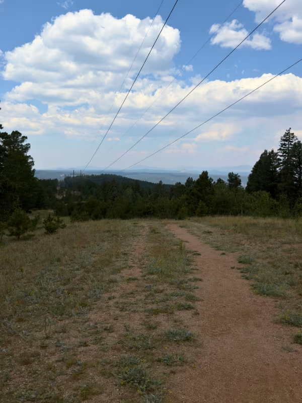
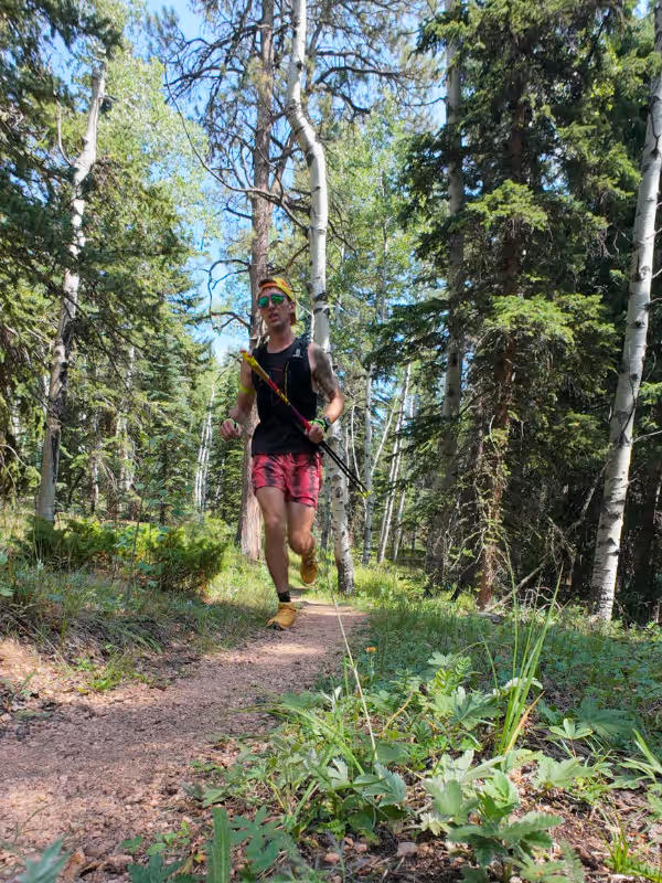
Lovell Gulch Trail photos
Lovell Gulch Trail Logistics
- Parking: I always found a spot during my visits, but I’d still recommend arriving early on weekends or holidays.
- Bathrooms, water, and fees: No toilets, drinking-water facilities, or fees onsite at the time of my visit.
- Water carry: I usually brought 500 mL–1 L in July, depending on the heat. That generally worked for my roughly hour-long runs; bring more as needed for extra loops, hotter weather, or more time on the trail.
- Crowds: The trail usually felt less busy than the parking lot suggested. People spread out, and crowds rarely affected my running.
More trail running near Woodland Park
If you want a some other runs in the Woodland Park area, then check out these other trail reviews:
- Rampart Reservoir Trail (14.8 miles)
- Catamount Falls via Thomas Trail (6.7 miles)
For every route I’ve reviewed, check out my Trail Running Route Database for more.

Leave a Reply