
Catamount Falls via Thomas Trail is a 6.74-mile out-and-back from Green Mountain Falls, near Woodland Park, Colorado, with 1,959 feet of climbing on the route I ran.
I really enjoyed the variety of this trail. One minute I was hiking over big rocks and roots, then I’d be jogging through a flatter stretch of forest before climbing again. Once I turned around at the South Catamount reservoir, I essentially ran the whole way down. This is where I really started to enjoy the trail. Then, adding in the views over town and at the reservoir, and I came away with a trail I’d definitely run again, which is why it got a 7/10.
This review covers the full outing through Thomas Trail, Catamount Trail, and Garden of Eden to South Catamount Reservoir, including the street approach from parking in town. The reservoir was my turnaround point. The shorter waterfall outing and Thomas Trail Loop are different routes.
Catamount Falls at a Glance
- Route type
- Out-and-back · includes the street approach from town
- Start → finish
- Green Mountain Falls town parking → South Catamount Reservoir → same starting point
- Highest point
- Approximately 9,150 ft recorded
- Terrain
- Town streets, rocky and rooty singletrack, gentler forest sections and a short reservoir road approach
- Exposure
- Forested stretches mixed with open views and the reservoir road
- Water
- Carry your own · I brought about 1 L and would have appreciated another 500 mL in the July heat
- Route
- Thomas Trail → Catamount Trail → Garden of Eden → reservoir access road → South Catamount Reservoir
- Direction
- Climb to the reservoir, then return the same way
- Highlights
- Views over Green Mountain Falls · Catamount Falls · South Catamount Reservoir
- Difficulty
- Moderate
Should you run the Catamount Falls Trail?
Yes, especially if you want a good chunk of vert and don’t mind hiking the steeper sections.
The first three miles are mostly uphill, but there are enough runnable bits mixed in to keep it interesting. I enjoyed switching between hiking the technical singletrack and jogging through the gentler forest sections. Then I got to run almost the entire way back down, which makes for a pretty good outing in my book.
The main drawback was the short road section before the reservoir. Cars were passing, some pretty quickly, and I was happy to get back onto the trail after turning around.
Nothing that affected the run too much, but something to be aware of once you get on the forest service road near the reservoir.
Run the Catamount Falls Trail if:
- Want nearly 2,000 feet of climbing in a run of under seven miles.
- Enjoy a mix of power-hiking and running rather than trying to hold one pace.
- You’re comfortable paying attention to rocks and roots, including on the descent.
- Want a reservoir viewpoint as the turnaround reward.
Skip the Catamount Falls Trail if:
- Want an easy run with a steady rhythm from the start.
- Prefer smooth footing throughout.
- Want an outing entirely on trails, without town streets or a road finish to the climb.
How runnable is the Catamount Falls Trail?
I’d give it a 6/10, with a lot more running on the way back than on the way out.
Most of my hiking was because of the grade. There were runnable stretches on the climb, especially as the terrain eased near Garden of Eden, but I was switching back and forth for much of the first three miles.
The beginning is also the most technical the trail will be. So power hiking this section or mixing hiking with running is usually a good call.
Coming back, I essentially ran the whole descent. I still had to pay attention to the footing, but I had a runnable flow at least. Crowds barely factored into it, either. I only passed a handful of people along the entire out-and-back.
So, if you enjoy hiking the steep stuff and running when the trail gives you the chance, there’s plenty to like here. If you want to hold one pace for six or seven miles, this probably isn’t the route you’re looking for.
Catamount Falls via Thomas Trail trailhead directions
Start in Green Mountain Falls, off US 24 between the Colorado Springs area and Woodland Park. I parked along the main road in town near a small park and made my way to the Thomas Trail entrance on foot.
From my parking spot, I followed Hondo Avenue, Howard Street, Foster Avenue, and Mountain Avenue to Thomas Trail. That street approach is included in my 6.74 miles, so starting your watch at the trail entrance will give you a different distance.
Parking was easy when I arrived around 10:30 a.m. on a Thursday in July. There weren’t many cars, I had plenty of spaces to choose from, and I didn’t pay.
For your own visit, use the town’s designated hiker parking areas and official trail map. The town lists parking separately from trail access and identifies public bathrooms at Gazebo Park and Pool Park. Ensure you have your head on a swivel as you follow the town roads to the trail.
The route
I went all the way to South Catamount Reservoir, then came back the same way.
- Start in Green Mountain Falls and follow the streets to Thomas Trail.
- Follow Thomas Trail toward Catamount Falls.
- Continue onto Catamount Trail and climb toward Garden of Eden.
- Run the gentler wooded stretch before the final climb and road approach.
- Reach South Catamount Reservoir, then return the same way.
Thomas Trail and Catamount Falls
Once you’re through the streets and onto the trail, the climbing continues. I spent much of the opening miles switching between running and hiking, mostly depending on how steep it got.
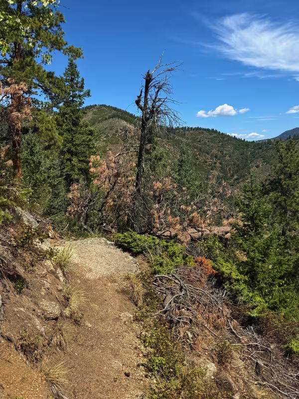
There are some big rocks and roots to work around, but it wasn’t overly technical. You’re on a piece of singletrack for most of the way up, switching back and forth along the side of the mountain toward the top. It doesn’t get super narrow at any points and makes for a great trail to steadily run if you can.
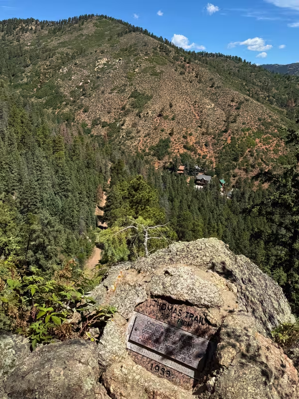
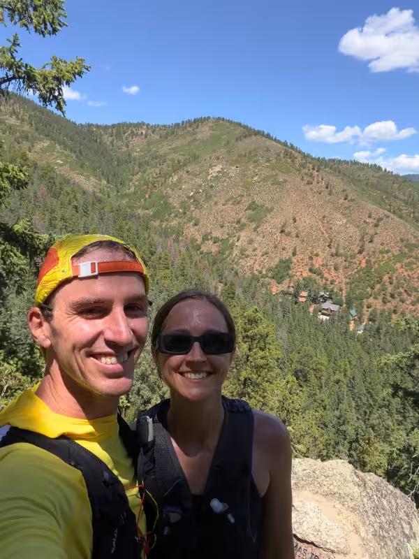
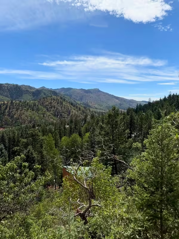
The view out over Green Mountain Falls as I began climbing was one of my favorite parts of the scenery. You get a nice look over town and the surrounding mountains before continuing farther up the trail.
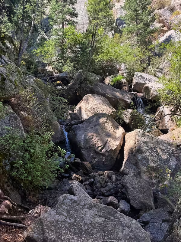
I did stop at Catamount Falls, but only long enough to take a picture and move on. It had been dry, and there wasn’t a ton of water coming down. The falls weren’t the highlight of this particular run for me, maybe if there was a bit more water it would have been nicer. But, the reservoir view farther up was much more memorable, in my opinion.
- Liked: The view over Green Mountain Falls and the variation in the footing
- Expect: A mix of running and hiking as the grade changes
Catamount Trail and Garden of Eden
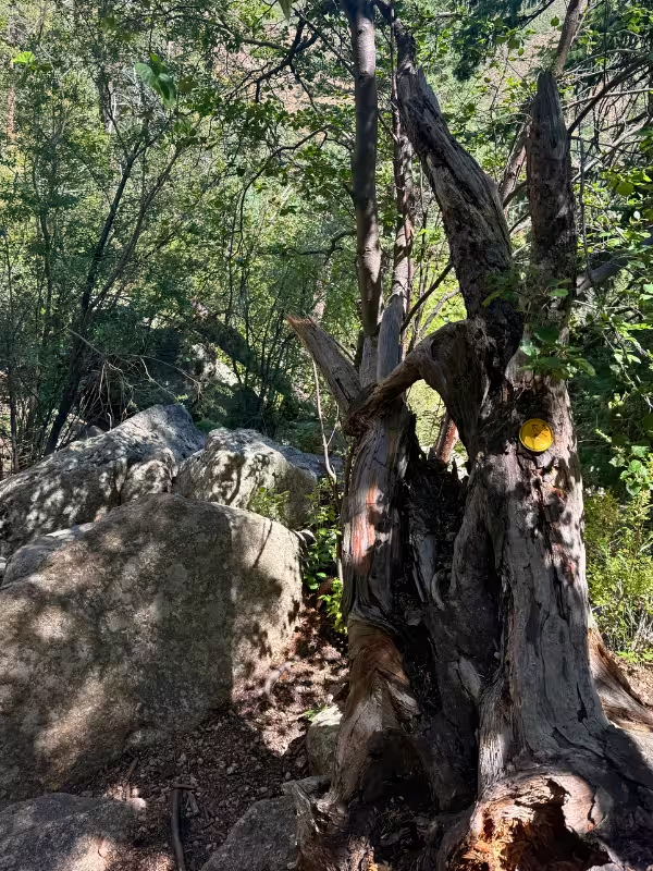
The climb continues on Catamount Trail, with more of that same mix of hiking and running. You’ll see the markers along the way to know what trail you’re on. Thomas uses yellow markers and Catamount uses blue, and there are signs along the way so it’s not the most difficult route to follow. If you want more information, be sure to check out the town’s trail information.
Farther up, it flattens out enough for a nice bit of running through tall grass and heavy tree cover. This was the variation I liked so much. I’d been hiking technical singletrack, then suddenly I could jog through the trees for a while.
The climbing does pick up again before the reservoir, so don’t get too comfortable with the flatter part. But it was a welcome break in the uphill.
- Liked: Getting some running in through the flatter, heavily forested stretch and the Garden of Eden
- Expect: More climbing after the terrain briefly eases
Forest Service Road and South Catamount Reservoir
The road is my least favorite part of the route, easily.
It’s only a brief section before the reservoir, but there were cars driving through and some were moving pretty fast. I had to keep my head on a swivel, which took some of the enjoyment out of the last bit of the climb. On a day with more traffic, I could see this getting old pretty quickly.
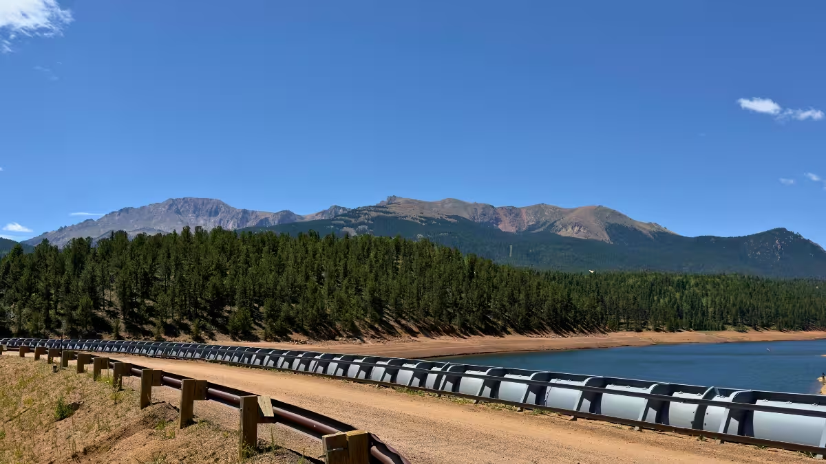
But then you get to South Catamount Reservoir, and the view is stunning. I really enjoyed pausing here, taking it in, and getting a few pictures. Between this and the view over town earlier, the scenery earned its 7/10 from me. But this view out over the reservoir and with Pikes Peak in the distance was one of my favorite parts.
The reservoir was worth the climb. I was still excited to get back onto singletrack after turning around.
- Liked: The reservoir view made for a great turnaround spot
- Expect: Fast-moving cars on the short road approach
Returning to Green Mountain Falls
This is where I got most of my continuous running in.
I essentially ran the entire way back down, slowing where the roots and rocks needed more attention in the final few miles. After all the switching between hiking and running on the climb, it was nice to keep moving at a run for much longer stretches.
I only passed a handful of people during the outing, so there wasn’t much stopping and waiting for other people which was a nice bonus.
- Liked: Being able to run essentially the whole descent
- Expect: Much more consistent running than on the way up
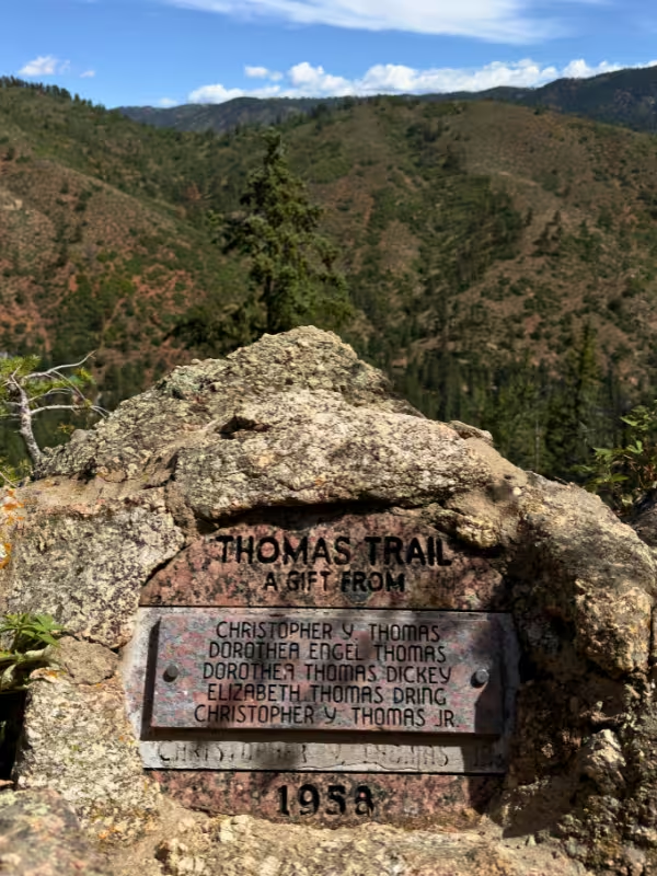
Catamount Falls Trail photos
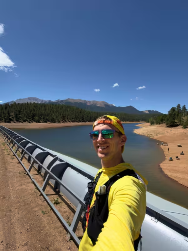
Catamount Falls Trail logistics
- Parking: I parked for free along the main road in Green Mountain Falls. There were plenty of spaces on my Thursday morning visit. Use the town’s designated hiker parking areas.
- Conditions: My July run was hot, sunny, and very dry. The footing was excellent, but there wasn’t much water in the falls.
- Water: I brought about 1 L and got by, although another half-liter would’ve been nice in the heat. Carry your own supply; the waterfall isn’t a drinking-water stop.
More Colorado running routes
If you’re staying around Woodland Park and putting together a few days of running, here are two other routes I’ve reviewed:
- Rampart Reservoir Trail (14.8 miles)
- Lovell Gulch Trail (5.2 miles)
You can also use my Trail Running Route Database to compare routes I’ve run by location, distance, climbing, and difficulty.

Leave a Reply