The Highline Trail in Glacier National Park is a trail runner’s dream, well, at least one without a fear of heights.
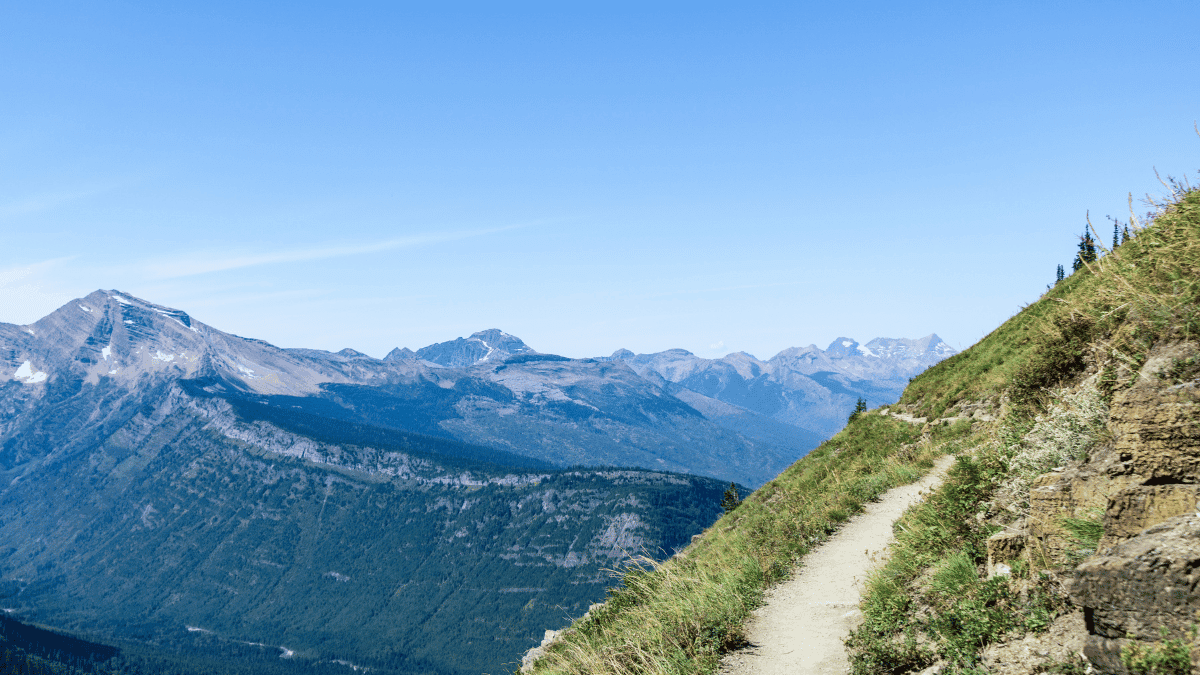
Narrow paths give way to wildflower-covered cliffsides, and sweeping mountain views that look straight out of a painting come with just enough danger to keep you honest. I rated it 7.0/10 overall. The scenery is some of the best I’ve run through anywhere, but the exposure early on, potential for a grizzly bear encounter, and the limited parking keep it from scoring even higher.
The trail starts at Logan Pass, and within the first mile you’re already on those dramatic edges above Going-to-the-Sun Road. For my run, we turned around at Haystack Pass to keep things manageable and leave more time to explore the rest of the park.
Below, I’ll break down what to expect, the best route options for runners, and how to plan your own version of this run.
Highline Trail at a Glance
- Route type
- Out-and-back
- Start → finish
- Logan Pass → Haystack Pass → Logan Pass
- Highest point
- Haystack Pass · approximately 6,959 ft
- Terrain
- Narrow cliffside paths followed by wider, runnable trail
- Exposure
- Steep drop-offs along the Garden Wall with a chain handrail
- Water
- No water sources · carry approximately 1.5–2 L
- Turnaround
- Haystack Pass · approximately 3.5 miles from Logan Pass
- Wildlife
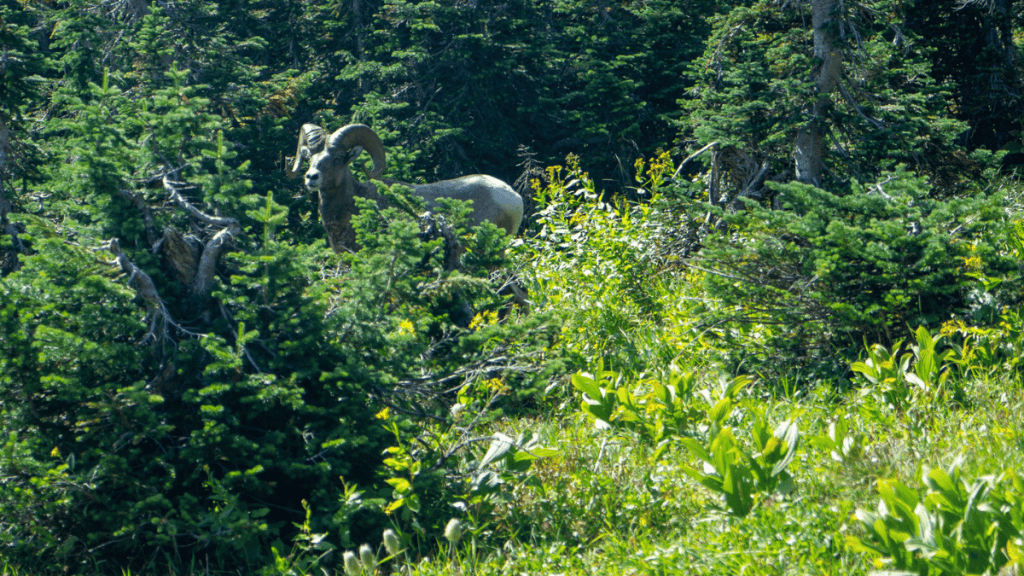
- Grizzly bears · bighorn sheep · marmots · carry bear spray
For a complete list of trails, be sure to check out my Trail Running Route Database where I add, review, and recommend every trail I’ve run around the world.
Should you run it?
This isn’t a trail to underestimate just because it’s popular. The first mile runs along an exposed cliffside, and the parking situation alone will wreck your morning if you don’t plan around it. But if you can handle heights and get there early, it delivers some of the best mountain views you’ll find on any trail, anywhere. You just want to be extremely careful and, ideally, run with a group. Grizzly bears are a real threat in Glacier National Park, so I highly advise approaching this one with caution.
Run the Highline Trail if you:
- Want sweeping alpine views without needing to earn them through thousands of feet of climbing. The payoff here comes fast and stays the whole way.
- Can handle narrow, exposed cliffside sections early in the run without it wrecking your focus.
- Have a group to run with
Skip the Highline Trail if you:
- Have a real fear of heights. The Garden Wall section runs along a straight dropoff with a chain to hold onto, and it doesn’t ease up quickly.
- Can’t get to Logan Pass early. The lot fills by 8 a.m. most days, and there’s no good backup plan if you miss your window.
Highline Trail trailhead directions
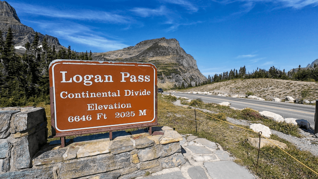
The trailhead starts at Logan Pass (6,646 feet) on Going-to-the-Sun Road, at the same parking lot used for the visitor center and Hidden Lake.
That shared lot is the catch. It fills up fast, often by 8 a.m., and AllTrails reviews have reported it 75% full by 6:30 a.m. during peak season. Get there early, both to beat the crowd and to beat the afternoon heat if you’re running the out-and-back.
If you’re running point to point to The Loop instead of turning around, you’ll need to catch the park shuttle back to Logan Pass. The last shuttle typically runs between 5 and 6 p.m., so plan your pace around that cutoff.
The route
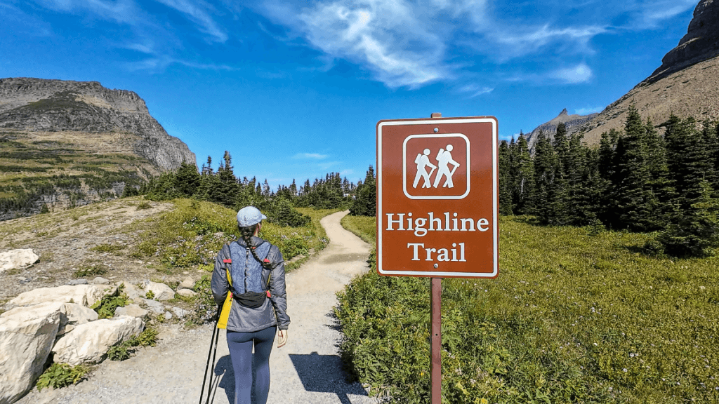
- Start at Logan Pass and cross Going-to-the-Sun Road onto the Highline Trail, immediately along the exposed Garden Wall cliffside (~1 mi)
- The trail widens as the exposure eases, then climbs steadily past small waterfalls and in and out of tree cover (~2 mi)
- Continue climbing as the trail opens up and steepens toward Haystack Butte (~0.5 mi)
- Reach Haystack Pass, the turnaround point for the 7-mile out-and-back (~3.5 mi in)
- Retrace the route back to Logan Pass, or continue on toward Grinnell Glacier Overlook or Granite Park Chalet if you’re extending the run
Logan Pass to the Garden Wall: The views start within the first few steps. The trail drops around 200 feet over the first half mile as the valley opens up below Mount Oberlin, and you’re running the slopes of Pollock Mountain and Mount Gould without even realizing it.
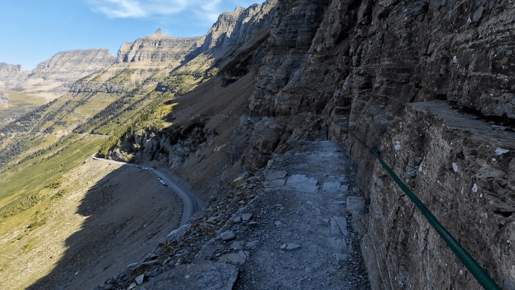
This is also the most exposed part of the run. There’s a straight dropoff on the left side with a narrow trail along a vertical wall, and a chain bolted to the rock to hold onto while you pass through. Other hikers coming the opposite direction make it worth slowing down here rather than trying to hold pace.
- Liked: The views open up almost immediately, no long approach required to earn them.
- Watch for: The chain section. Take it slow, especially if you’re meeting hikers coming the other way.
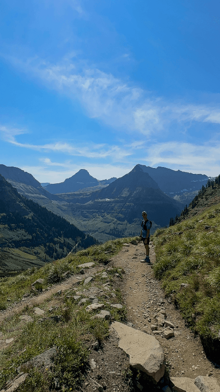
The Garden Wall to Haystack Butte: Around the one-mile mark, the trail widens and the exposure eases. The hill slopes down on the left instead of dropping straight off, and this is where the run actually starts to feel like running.
For the next stretch, the trail climbs gradually past small waterfalls and in and out of tree cover, with the views getting better every quarter mile. By mile three, everything opens up and the trail steepens toward Haystack Butte. If you like hills, this is the section that delivers.
- Liked: The steady, runnable climb once the exposure eases, with waterfalls and widening views the whole way.
- Watch for: Another narrow, steep dropoff section partway through, before the trail fully opens up.
Plan your next runcation without overthinking it
A free, runner-tested weekend kit with:
- A simple trip-planning framework
- A packing checklist that actually works
- A quick decision guide for short travel runs
Haystack Pass and the turnaround: Haystack Pass is a natural stopping point, with a view worth the break to eat, hydrate, and decide whether to continue or turn back. If you continue, you’ll pick up the Granite Park Chalet and Grinnell Glacier Overlook. If you turn back, you get the same views in reverse, and a downhill stretch that’s some of the best running on the trail.
- Liked: The downhill back from Haystack, since it’s the one stretch on this trail where you can fully let go and run.
- Watch for: The decision point itself. Know your turnaround time before you get here so fatigue doesn’t make the call for you.
Optional extensions for adventurous runners: Two extensions are worth knowing about if you want to push past Haystack Pass:
- Grinnell Glacier Overlook: About 0.9 miles beyond Haystack Pass. The climb is steep, but it’s one of the most iconic views in the park.
- Granite Park Chalet: Adds 3.5 miles from Haystack Pass. A good rest stop with snacks, and a decision point of its own: turn back to Logan Pass for a 14.9-mile day, or continue to The Loop and catch the shuttle back.
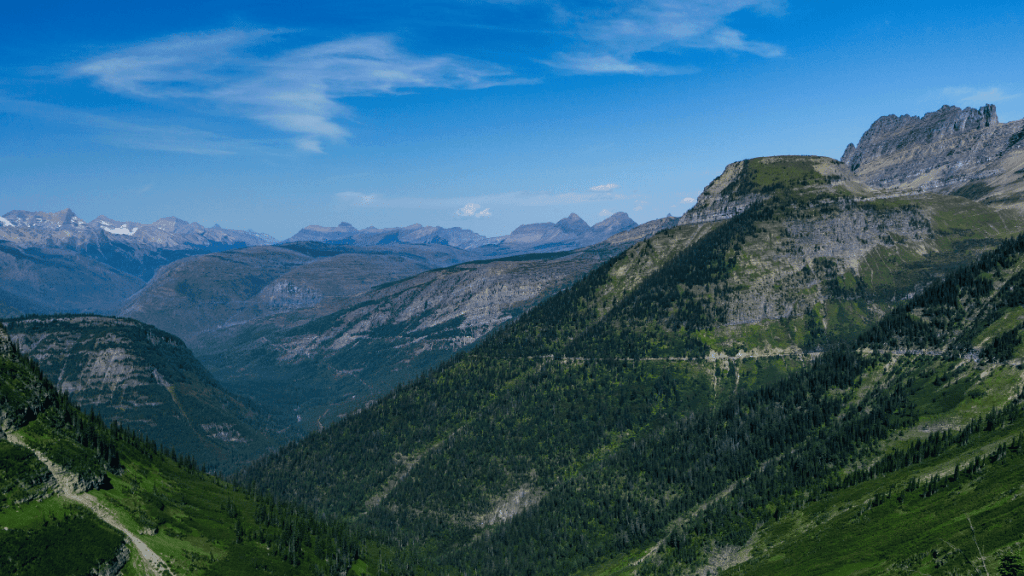
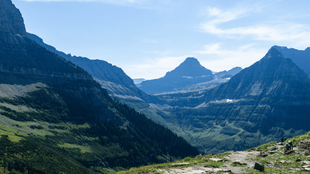
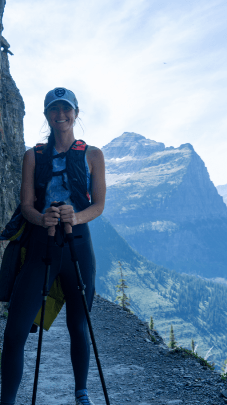
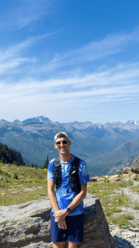
Photos from the Highline Trail
Logistics
- Bear spray: Glacier has the densest grizzly population in the lower 48, and carrying bear spray is a must. Keep it somewhere you can reach it fast, and make noise periodically through quieter sections.
- Water: There are no water sources on the trail. Bring 1.5 to 2 liters for the 7-mile out-and-back to Haystack, or at least 3 liters if you’re pushing to The Loop.
- Timing: Start early. This protects your parking spot, gets you through the exposed Garden Wall section before the crowds build, and beats the afternoon heat.
- Weather: Conditions at elevation shift fast, even in summer. Bring a light windbreaker or rain jacket and check the forecast before you head out.
- Footwear and poles: The trail is runnable in standard trail shoes. Trekking poles help with stability on the exposed sections but aren’t a necessity.